Open the planner

OFFROAD MAPS · TRIP PLANNING · TURN-BY-TURN

The map for
past the pavement.

Plan the whole trip on the web. Drive it offline on your phone and on the dash, with every gate, closure and legal camp marked.
Start planning freeiPhone and CarPlay app coming soon
outsideratlas.com/mapOpen full planner ↗
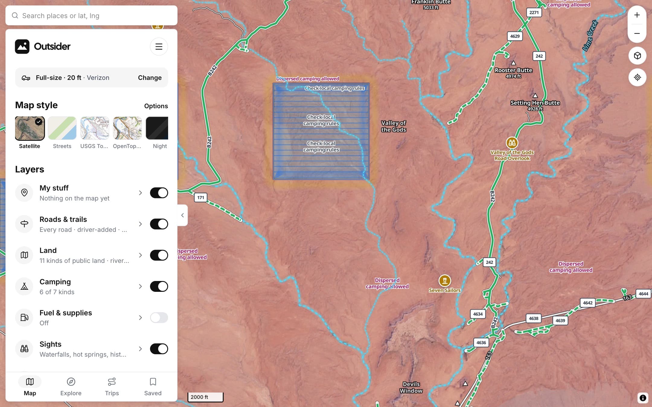
Outsider map of Valley of the Gods, Utah, with dispersed camping areas labelled
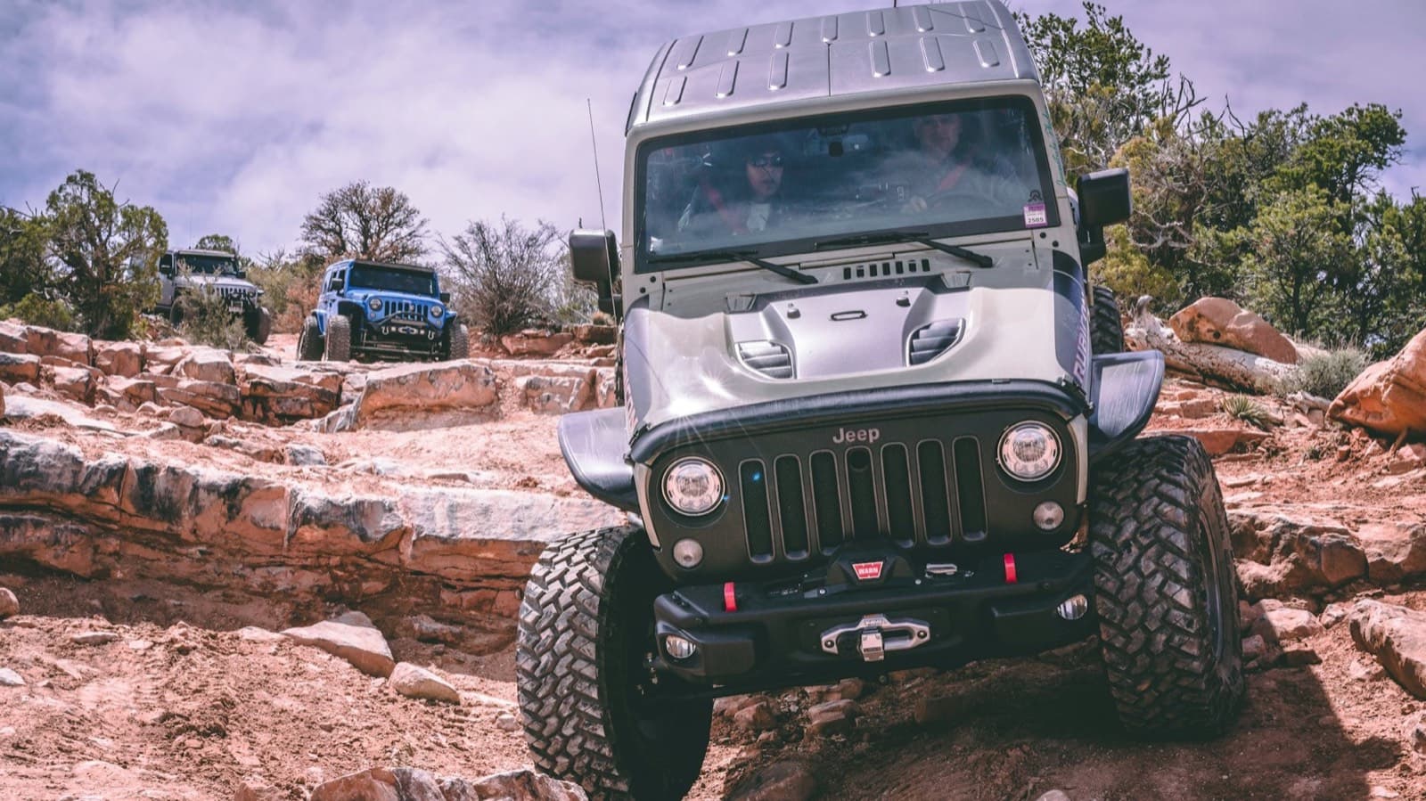
Jeep on red slickrock
TRAIL · OPEN
Gemini Bridges Rd
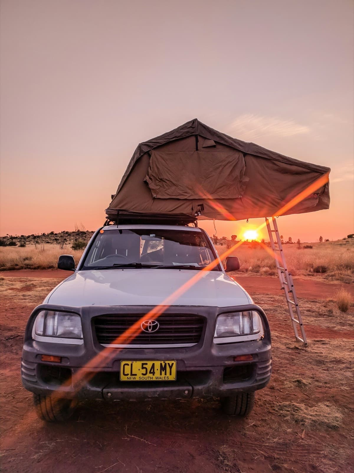
Land Cruiser with a rooftop tent at sunset
CAMP · ALLOWED
BLM dispersed, Seven Mile
0.8 mi
Right toward Gemini Bridges

How to read it

LEGEND

ROADS

Road status

Open, seasonal, restricted or closed, drawn on the line.

How it works
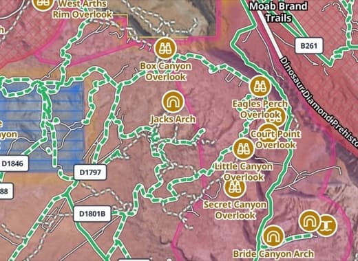
Outsider map close-up: open roads in green with road numbers near Moab
ROAD STATUS
Open to all vehicles
Open · BLM road
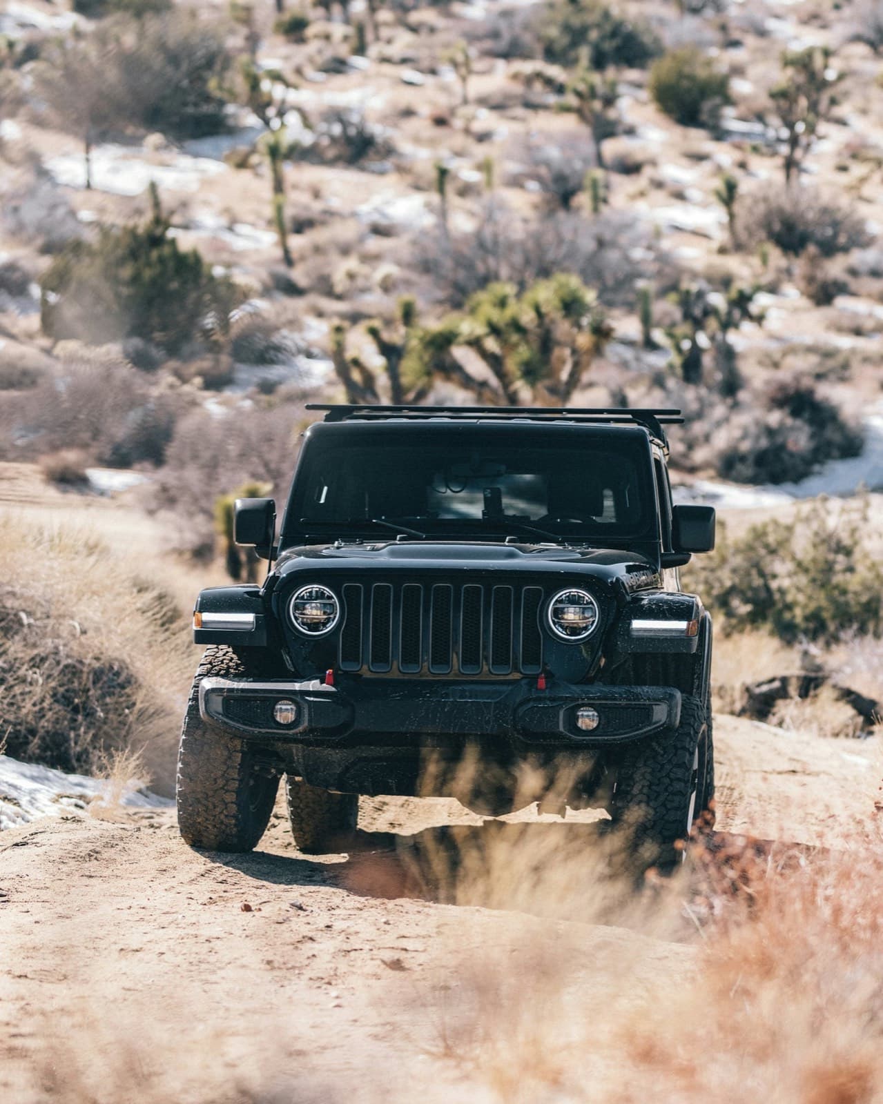
Jeep on a desert trail
MOJAVE

LAND

Who manages it

BLM, national forest, parks, state and tribal land.

How it works
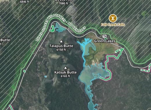
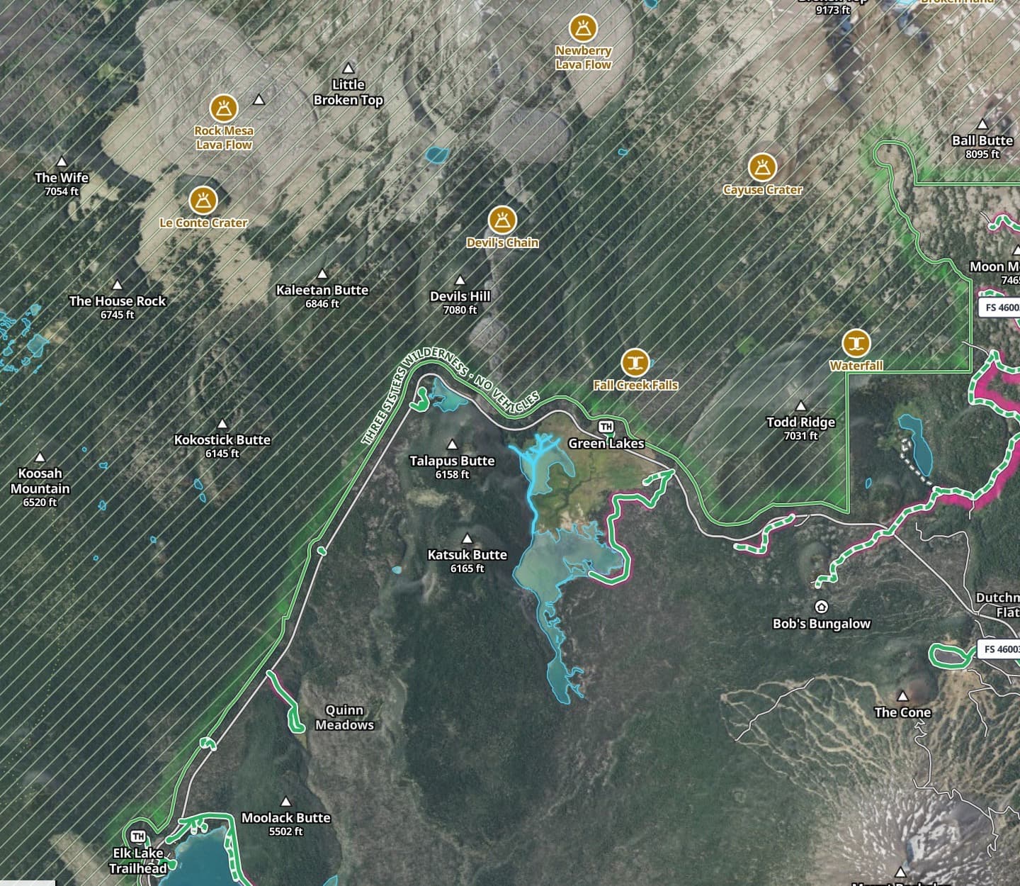
Outsider map close-up: forest boundary and trails at Green Lakes, Oregon
LAND
Deschutes National Forest
National Forest
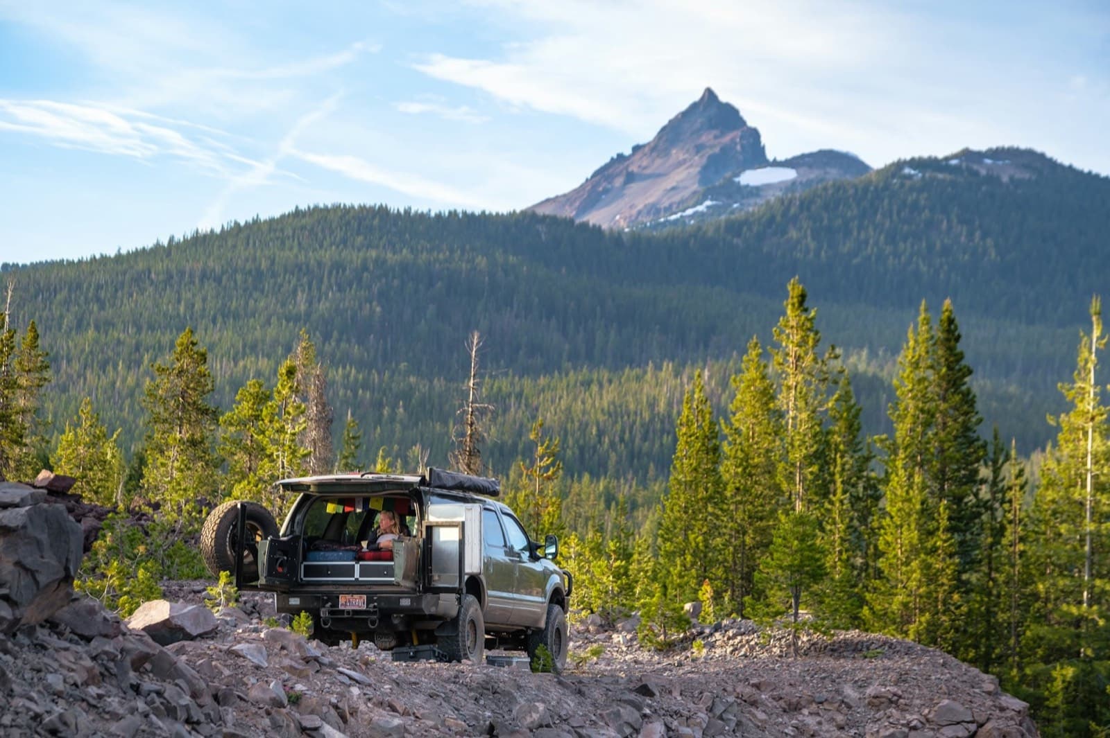
SUV below a volcanic peak
CASCADES

CAMPING

Where you can sleep

Allowed, designated-only, or no camping.

How it works
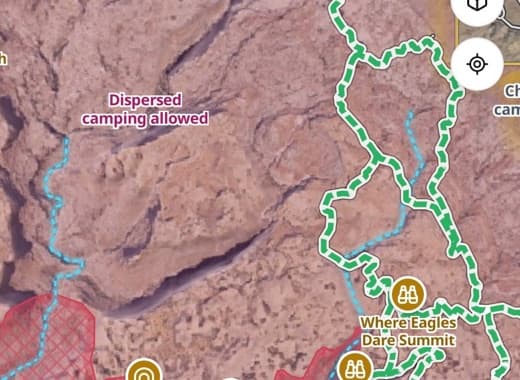
Outsider map labelling a dispersed camping area
CAMPING
Dispersed camping allowed
BLM · No permit
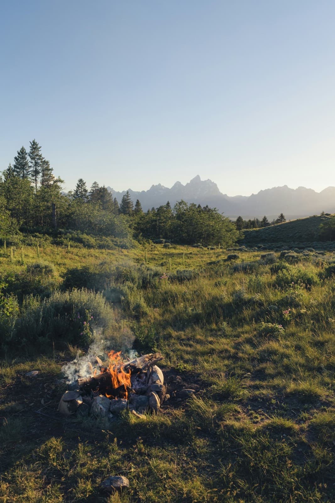
Campfire below the Tetons
TETONS

LAYERS

Only what you need

Fuel, sights, cell coverage and conditions, on or off.
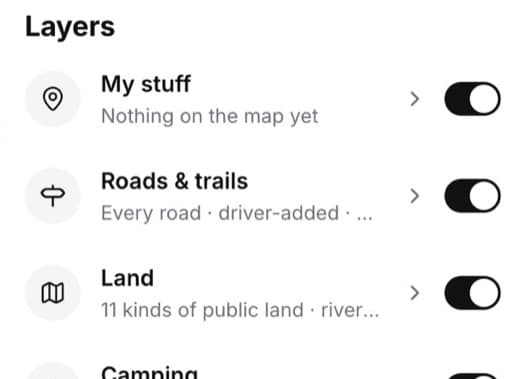
Outsider Layers panel: My stuff, Roads and trails, Land
LAYERS
Roads, land and camping on
6 of 7 kinds
Campfire at dusk
IDAHO
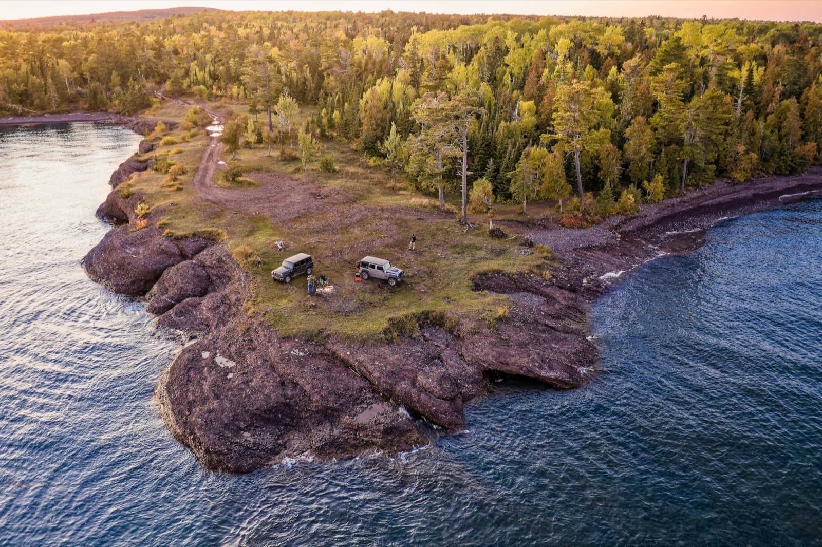
Aerial of two camper rigs on a rocky point above a lake at sunset

Camp found at 6:40 PM.No signal since noon.

OFFLINE
Cascade Lakes loop · 3 days
Maps, satellite, roads and camps saved
1.2 mi
Right to lakeshore camp

TRIPS

A camp for every night.

Lay out the days on the web, or ask Outsider to plan it. Each day gets a route, a legal camp and the last fuel stop, then it's on your phone.
TRIP
Mojave Road · 3 days
DownloadedFits your rig
Day 1
Afton Canyon to Soda Lake
Camp · Soda Lake dispersed
Day 2
Soda Lake to Marl Springs
Camp · Marl Springs
Day 3
Marl Springs to Fort Piute
Camp · Fort Piute
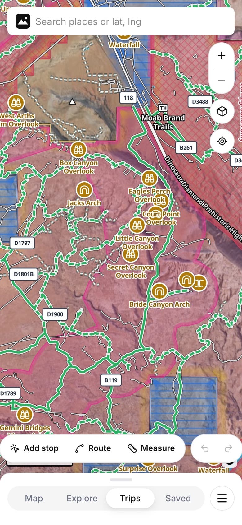
Outsider on a phone, Trips tab with Add stop, Route and Measure tools
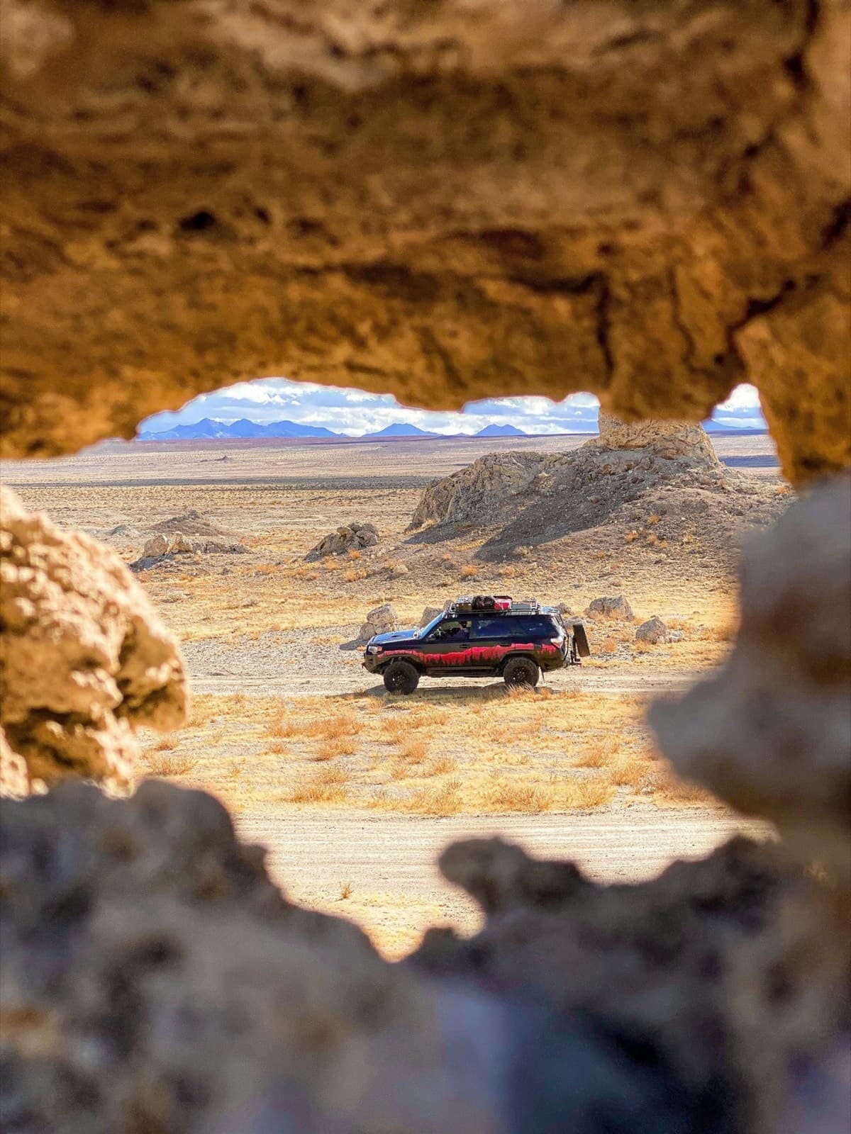
Desert valley through a sandstone arch
DAY 1
Soda Lake
Rooftop tent at sunset
DAY 2
Marl Springs
Campfire at dusk
DAY 3
Fort Piute

NEW · PATCHES

Earn the patch.

Every national park, famous backroad and scenic byway has a patch. Drive it, scratch it off, and work your way from Greenhorn to Outsider.

TRY IT
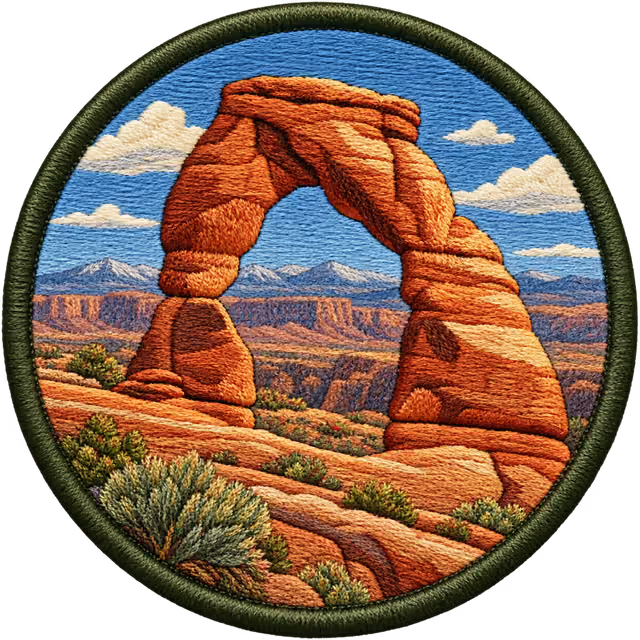
Arches

National park · UT. Scratch the foil to collect it.
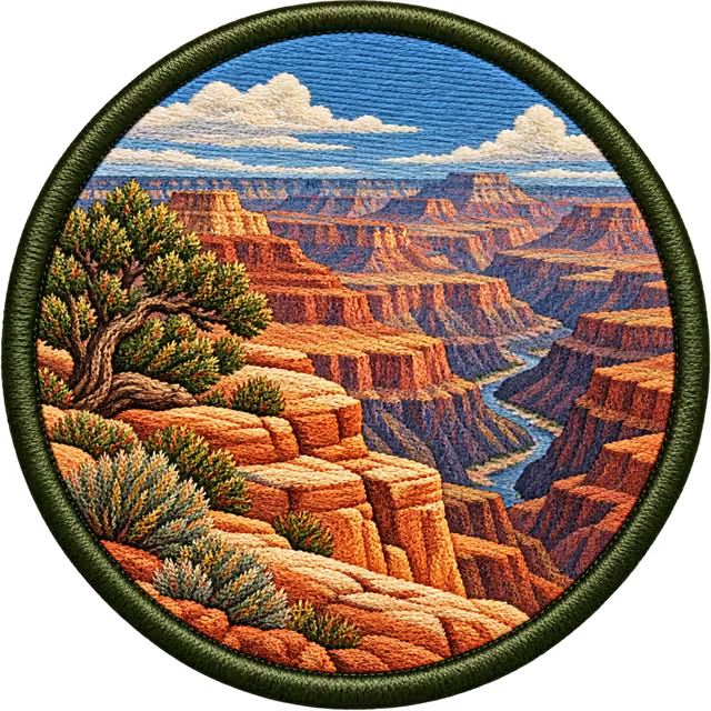
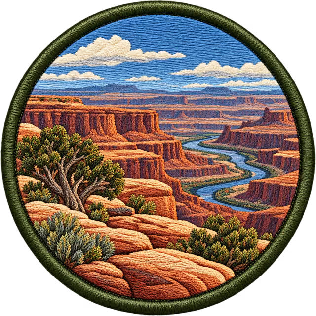
Grand Canyon
Arches
Canyonlands
White Rim Road
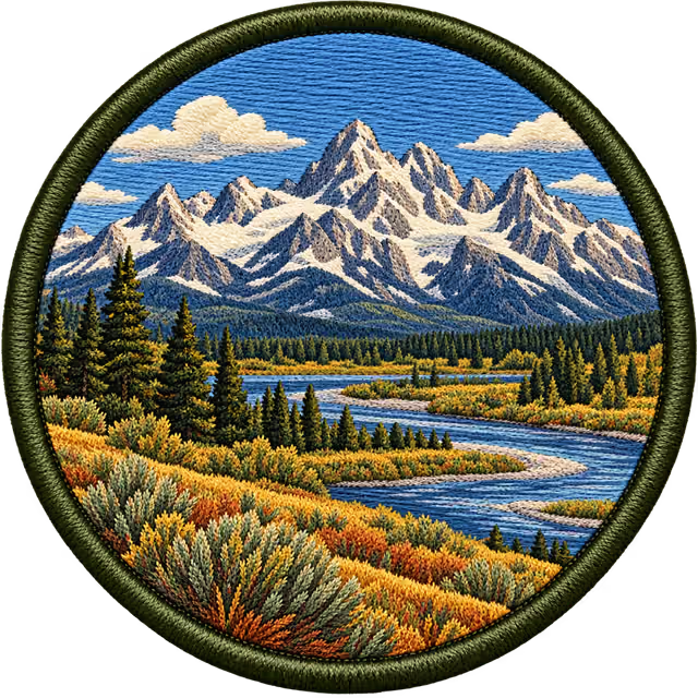
Grand Teton
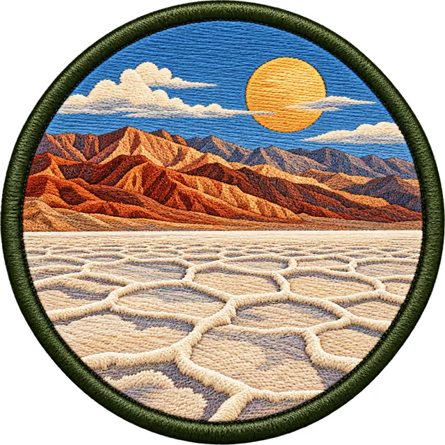
Death Valley
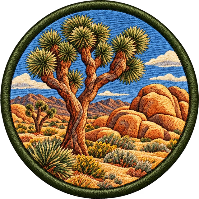
Joshua Tree
Mojave Road
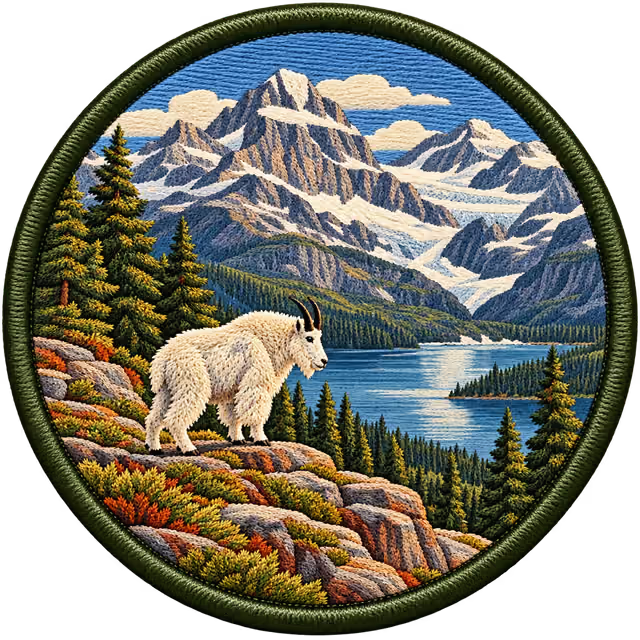
Glacier
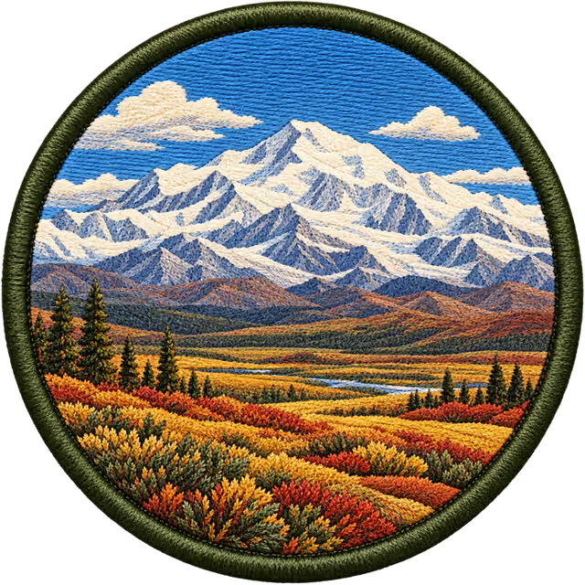
Denali
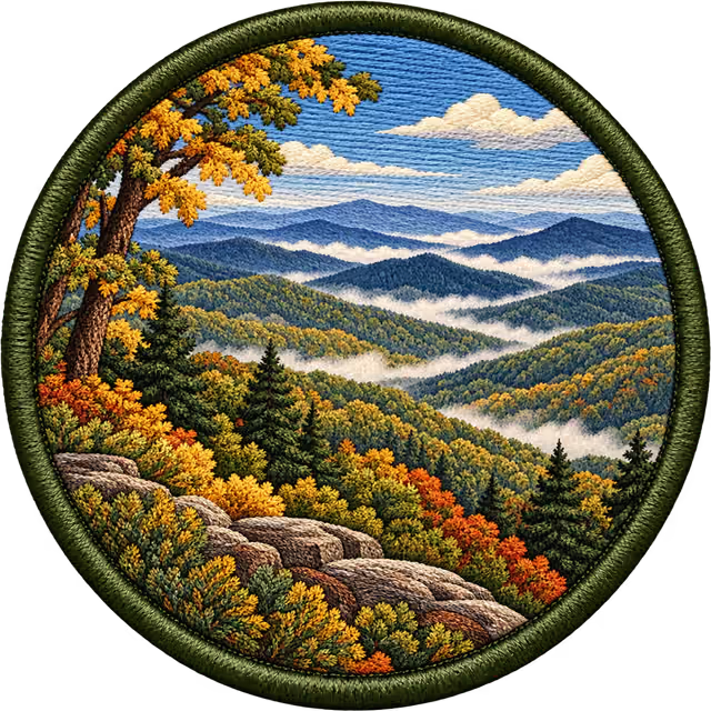
Great Smoky Mountains
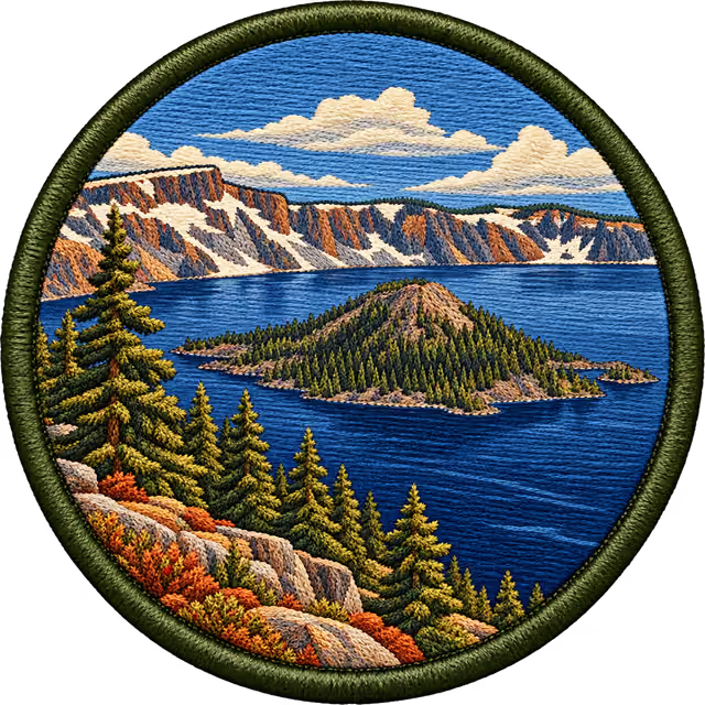
Crater Lake
  1. 0 XPGreenhorn
  2. 100 XPTenderfoot
  3. 300 XPTrail Hand
  4. 700 XPPathfinder
  5. 1,500 XPBackroad Ranger
  6. 3,000 XPOverlander
  7. 5,000 XPTrailblazer
  8. 8,000 XPExpedition Leader
  9. 12,000 XPOutsider
  • 63 national parks
  • 11 famous backroads
  • Plus scenic byways
  • 10 merit badges
  • 3 collections, like Utah's Mighty Five

APPLE CARPLAY

Eyes up. Map on the dash.

Plug in and today's leg starts guiding. Big turns, the next camp, and road status along the line ahead, all offline.
Outsider map of forest roads in the Oregon Cascades
0.6 mi
Right onto FS 4600-370
Seasonal road in 3 mi
4:12 PM arriveCamp 2 · Green Lakes
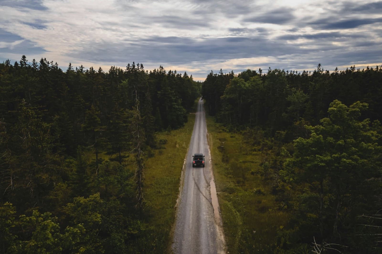
Truck on a road through pine forest
FOREST ROAD · OPEN
Cascade Lakes Hwy

TURN BY TURN

Arrows sized for a bumpy dash, with forest road numbers called out.

ROAD STATUS AHEAD

Seasonal gates and closures flagged before you reach them.

NEXT CAMP

Arrival time and tonight's camp, even with no signal.

Outsider Pro

Planning is free. Pro is for the trip itself.

Start planning free
OFFLINE MAPS
Whole trips, satellite included
APPLE CARPLAY
Turn-by-turn on the dash
PLAN ME A TRIP
Describe it, get a day-by-day route
CONDITIONS
Fire, smoke, snow and park alerts