FEATURES / CELL COVERAGE
CELL COVERAGE
[Know where the bars stop]
[Your carrier's coverage on the map, so you plan for the dead zones.]
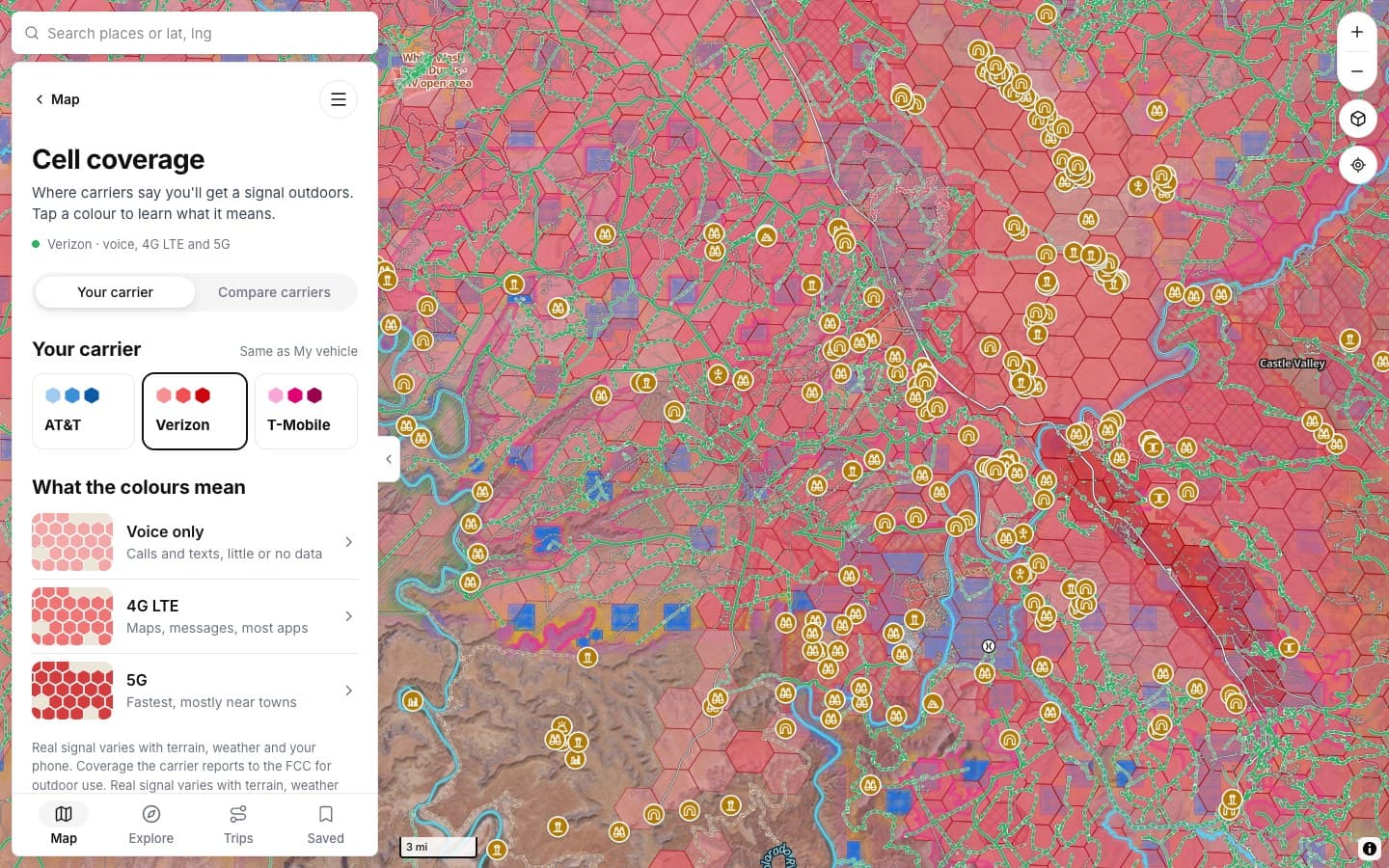
WHAT THE COLORS MEAN (VERIZON SHOWN)
THE DETAILS
Two ways to read it
Your carrier, or every carrier compared.
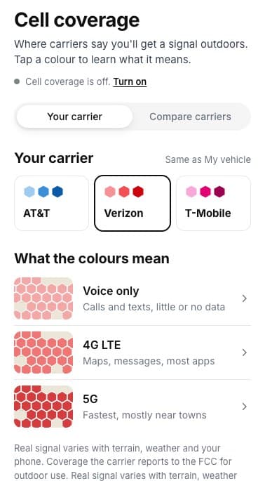
YOUR CARRIER
Pick yours
AT&T, Verizon or T-Mobile.
ON THE MAP
Voice, 4G, 5G
Shaded by what works.
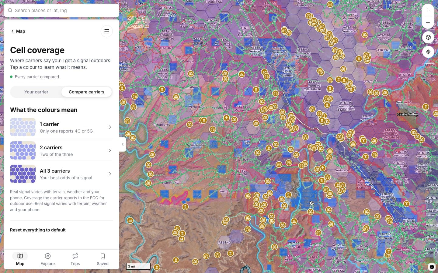
COMPARE
Best odds
Where one, two or all three report signal.
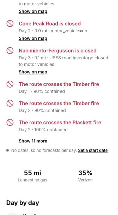
BRIEFING
On your route
How much of a trip has signal.
YOUR CARRIER
COMPARED
ELSEWHERE
SCREENSHOTS
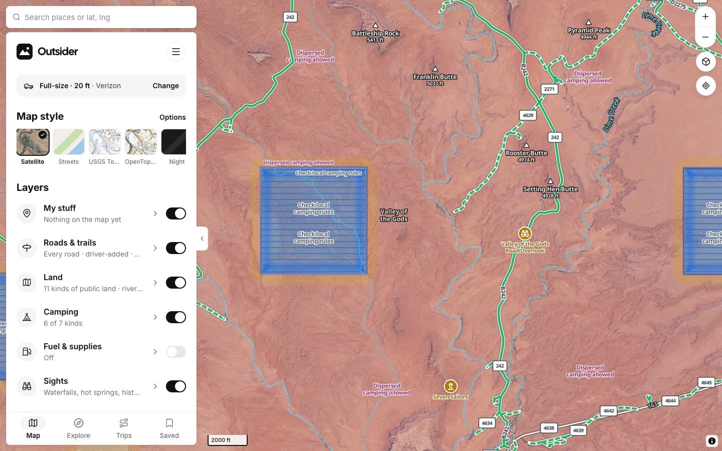
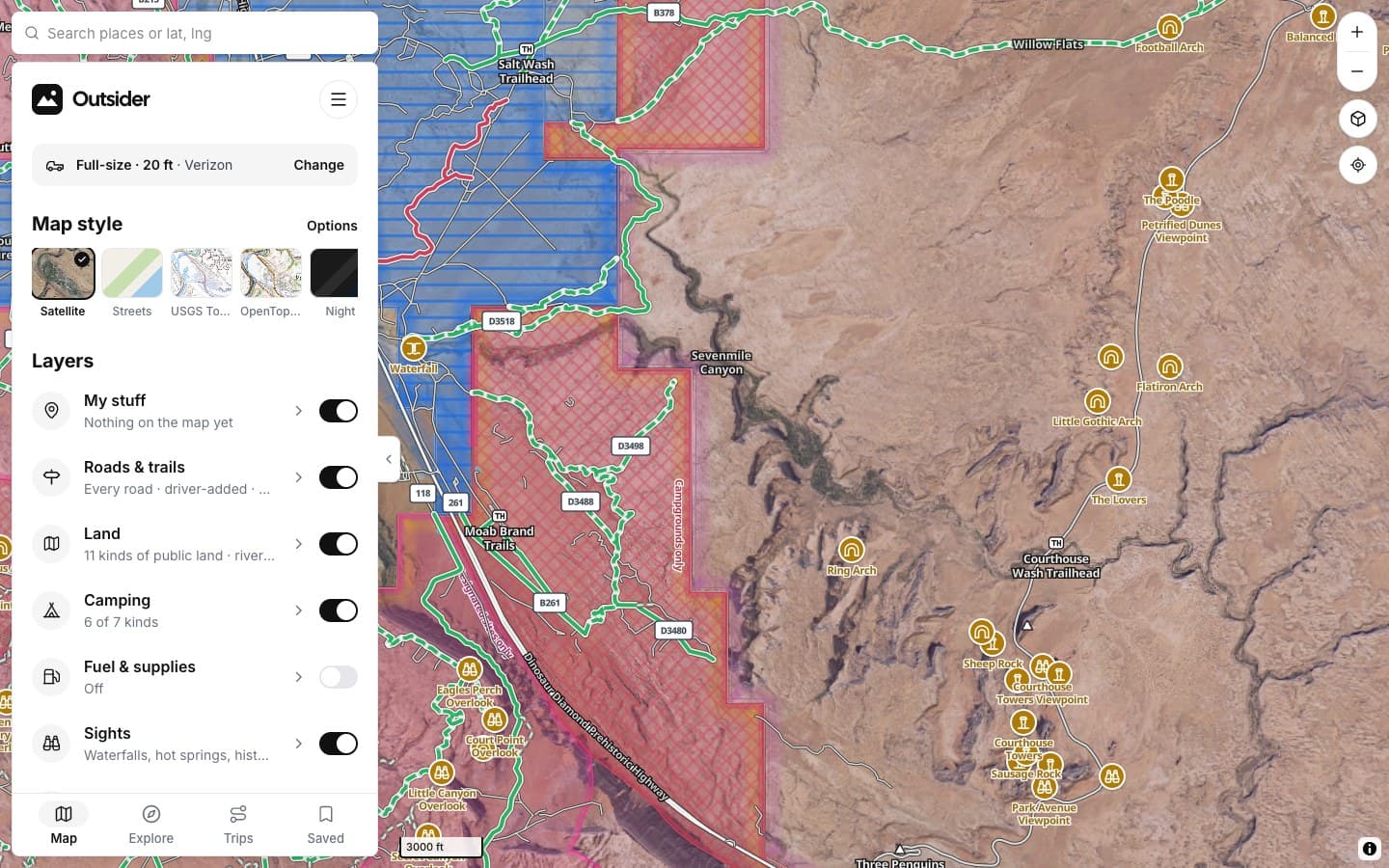
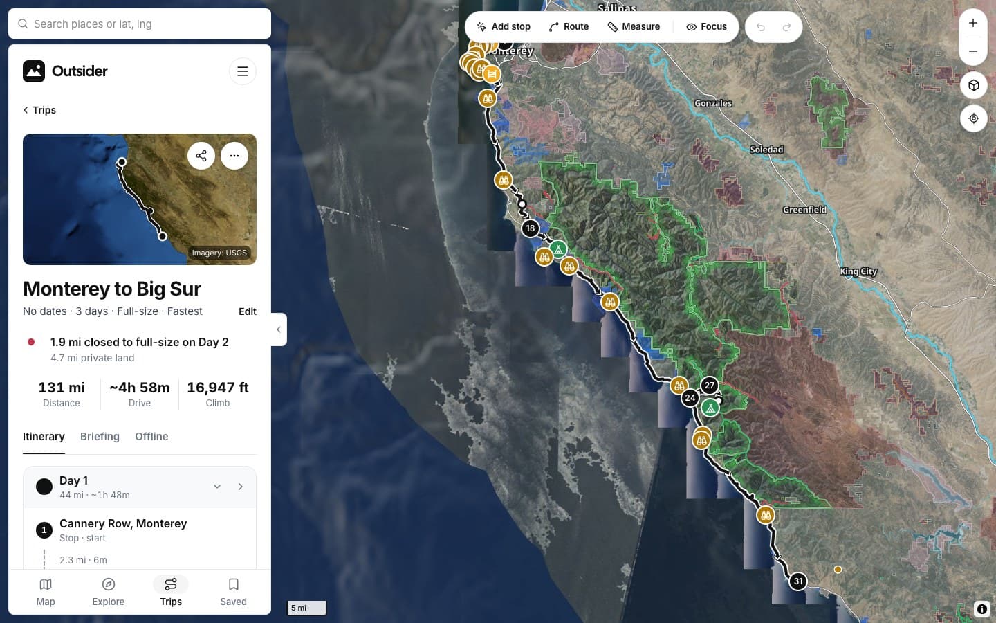
See it in the app
Click any screenshot to see what it shows.
WHERE THE ANSWERS COME FROM
Where coverage comes from
[Coverage is what the carriers report to the FCC for outdoor use. Real signal varies with terrain, weather and your phone.]
FROM THE TRAIL
[Drivers who didn't turn around]
[PLACE · ROAD]
“[THE BIG TESTIMONIAL, IN THEIR WORDS]”
[RIG] · [STATE]
“[TESTIMONIAL]”
[RIG] · [STATE]
“[TESTIMONIAL]”
[RIG] · [STATE]
Fair questions
Is it accurate?
It's what carriers report to the FCC for outdoor use. Canyons, trees and weather can block signal the map shows.
Which carriers?
AT&T, Verizon and T-Mobile.
[Plan for the dead zones]
KEEP EXPLORING