FEATURES / RIVERS & CREEKS
RIVERS & CREEKS
[Camp by water]
[Every river, creek and lake on the map, named, so you can plan camp around it.]
THE DETAILS
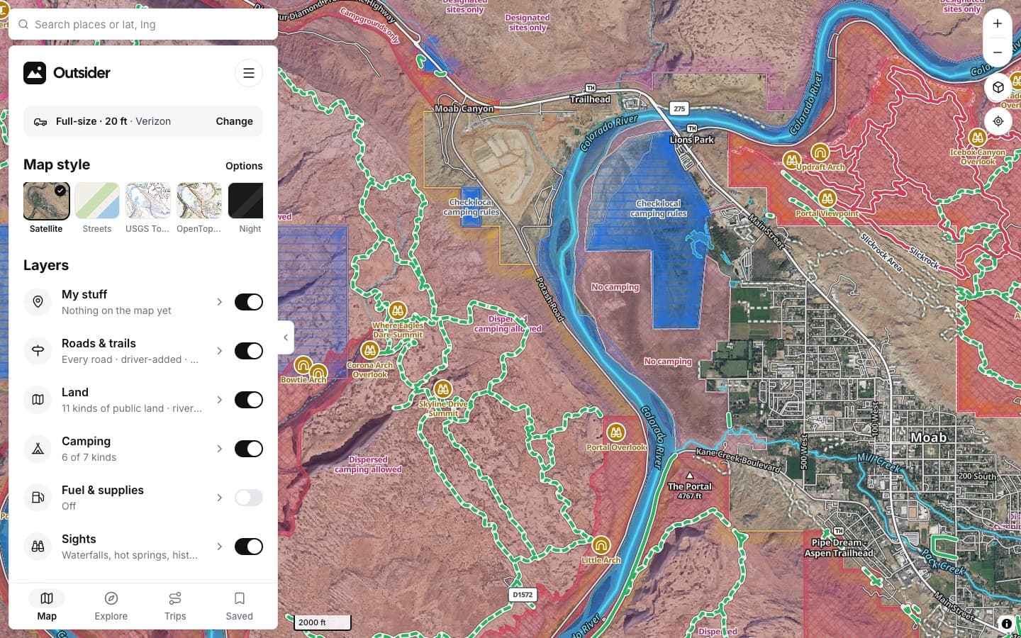
What the water layer shows
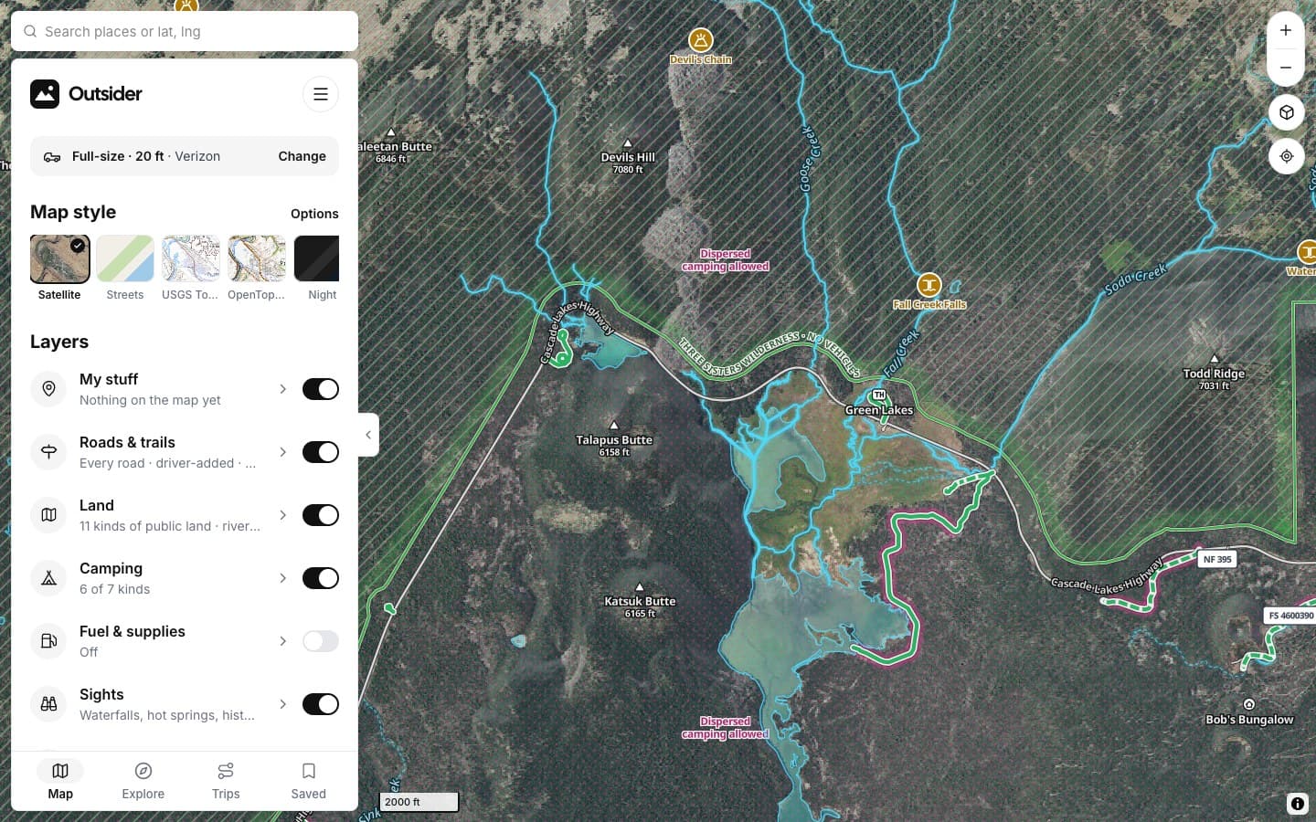
Water sits on top of the land so it reads on satellite.
RIVERS
Bright aqua, named
Rivers and creeks with their names along the line.
LAKES
Lakes and ponds
An aqua tint with an edge.
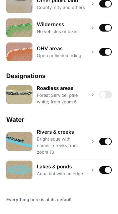
SWITCHES
On or off
Under Land, with the rest of the ground.
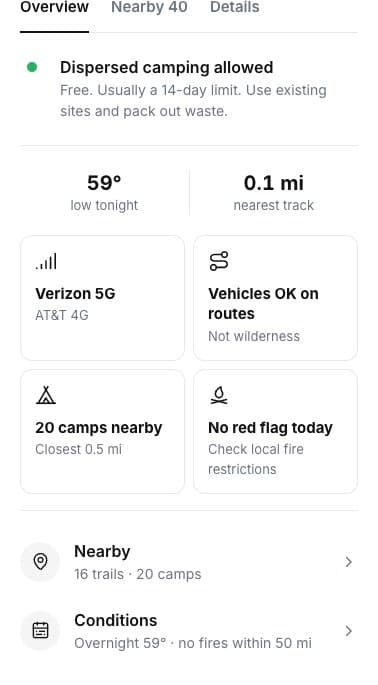
SPOT CARD
Nearest water
How far a spot is from water.
ON THE MAP
RiversNamed, at every zoom
CreeksFrom zoom 13
Lakes and pondsTinted with an edge
NamesAlong the water
SCREENSHOTS
See it in the app
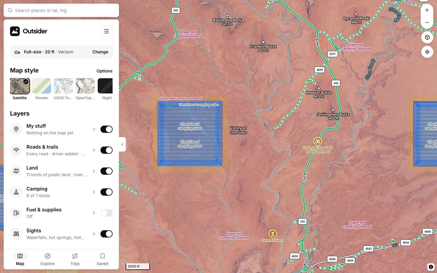
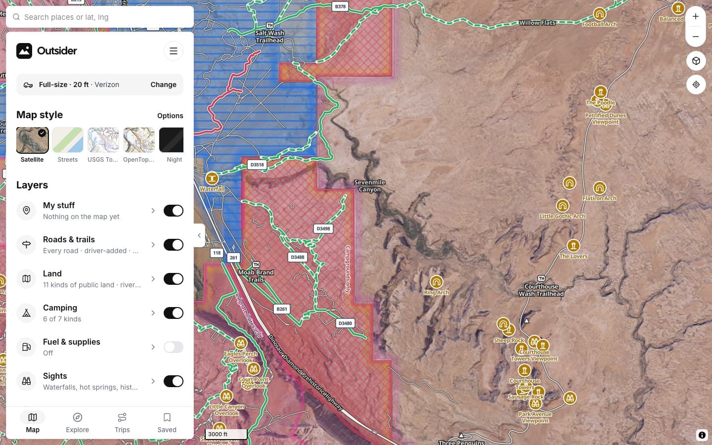
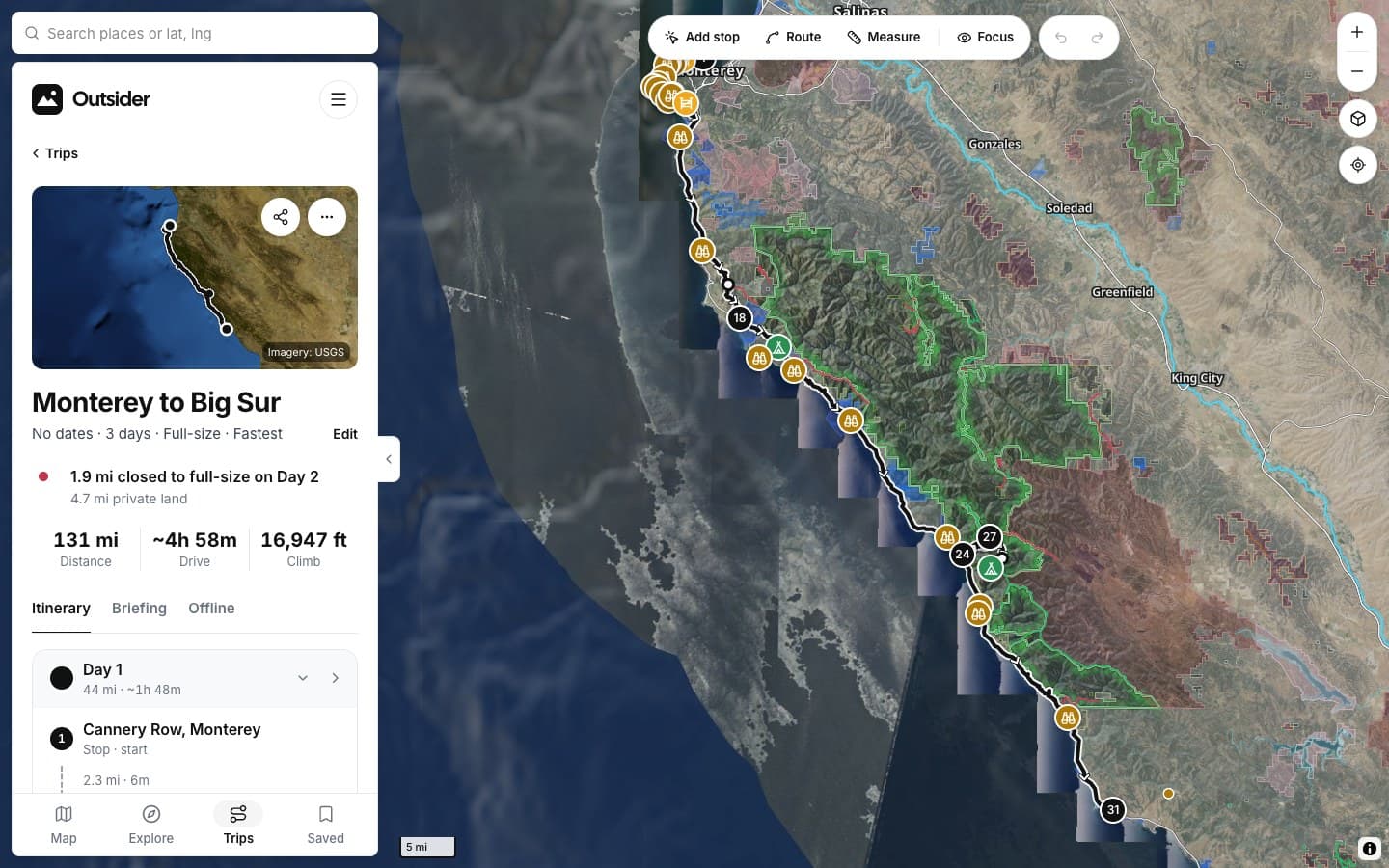
Click any screenshot to see what it shows.
FROM THE TRAIL
[Drivers who didn't turn around]
[PLACE · ROAD]
“[THE BIG TESTIMONIAL, IN THEIR WORDS]”
[RIG] · [STATE]
“[TESTIMONIAL]”
[RIG] · [STATE]
“[TESTIMONIAL]”
[RIG] · [STATE]
Fair questions
Is the water drinkable?
The layer shows where water is, not whether it's safe. Treat it, and check Fuel & supplies for drinking water.
Why don't I see small creeks?
Creeks show from zoom 13. Zoom in to see them.
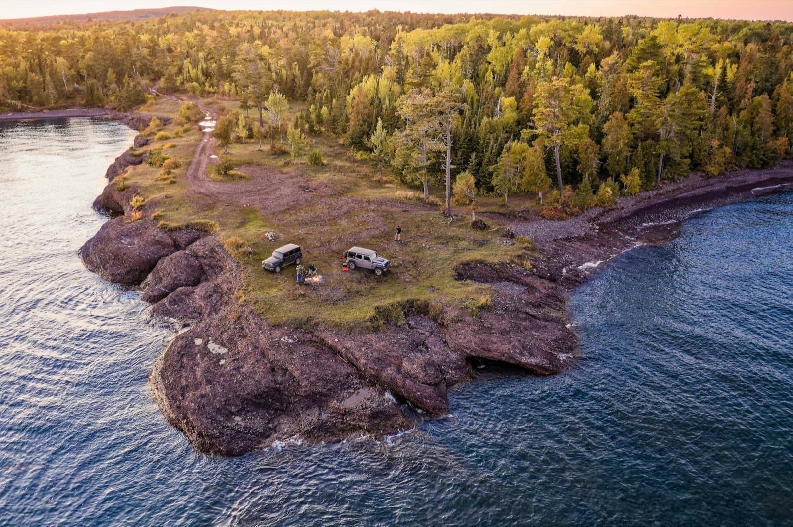
[Find camp by the water]
KEEP EXPLORING