FEATURES / PUBLIC LAND
PUBLIC LAND
[Know whose land you're on]
[Every acre colored by who manages it, with the rules that come with it.]
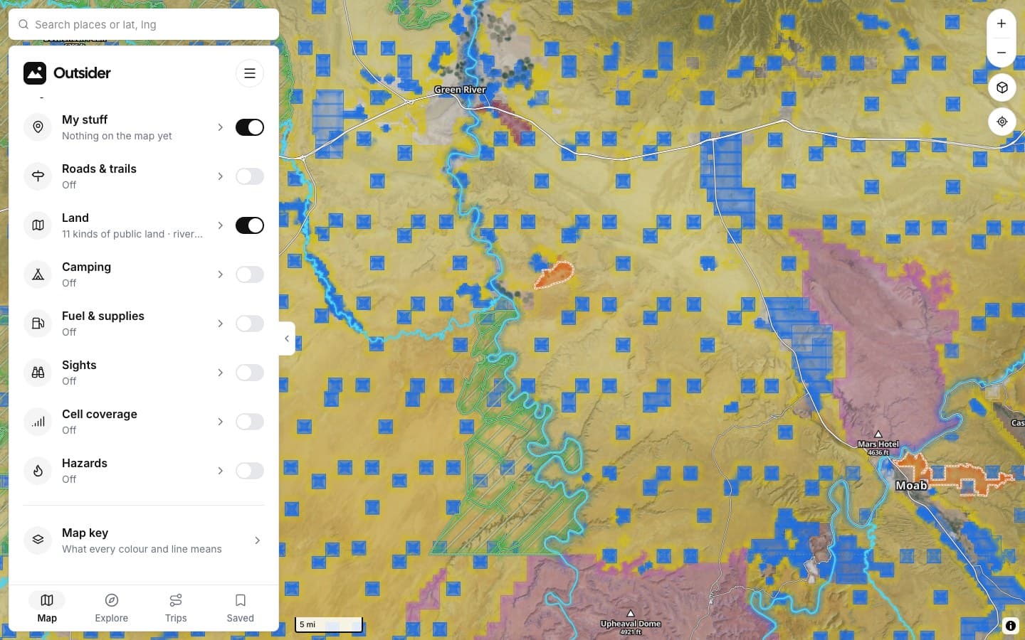
WHAT THE COLORS MEAN
THE DETAILS
Everything the ground tells you
Tap anywhere for the rules at that spot.
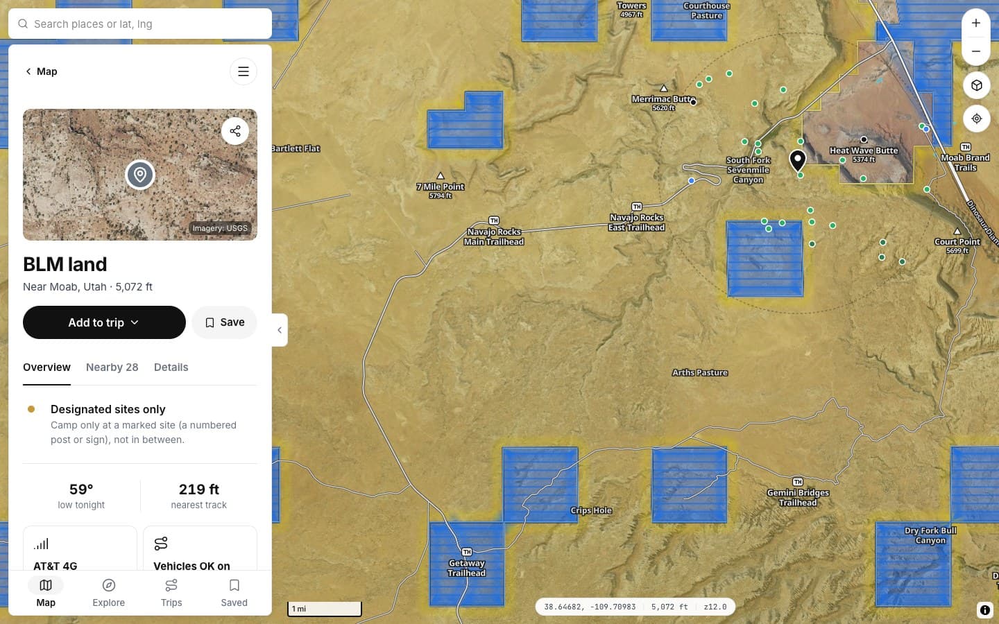
TAP ANYWHERE
Who manages it
The land manager and its usual rule.
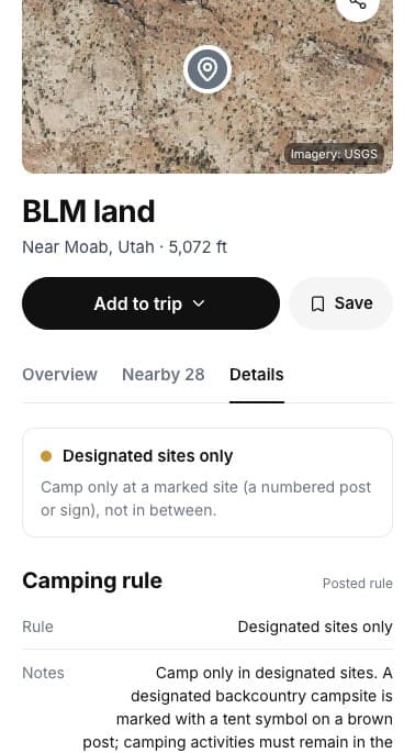
DETAILS
The posted rule
When a posted rule overrides the usual one.
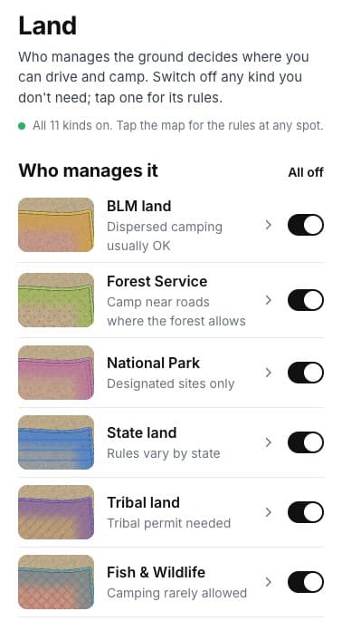
LAYER
Eleven kinds
Each one switchable.
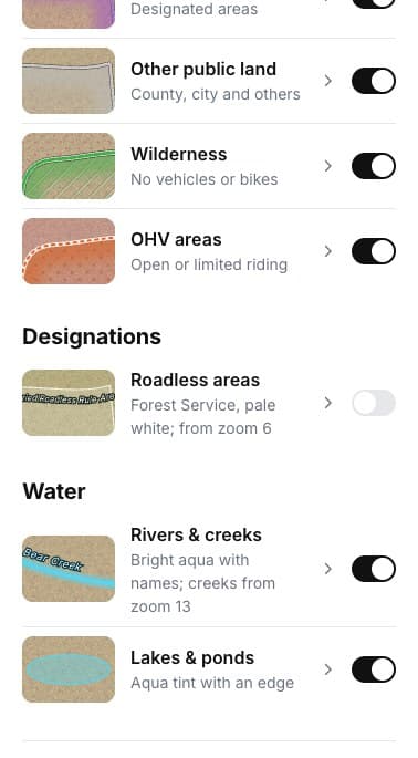
DESIGNATIONS
And what's on it
Wilderness, OHV areas, roadless areas, water.
FEDERAL
AND MORE
ON A SPOT
DESIGNATIONS
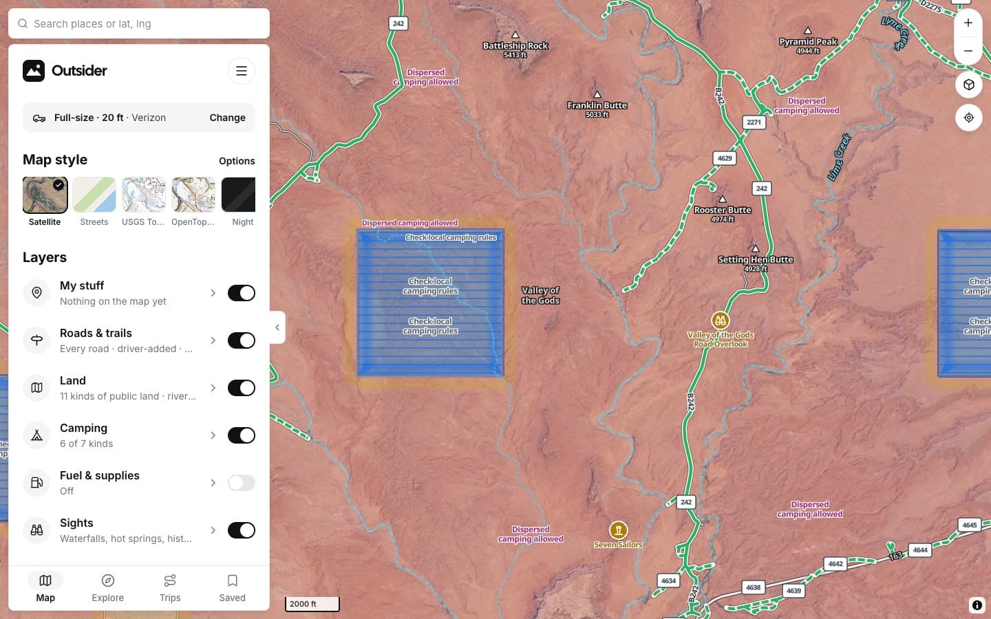
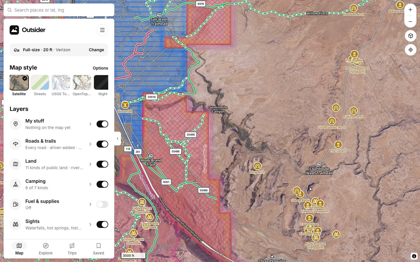
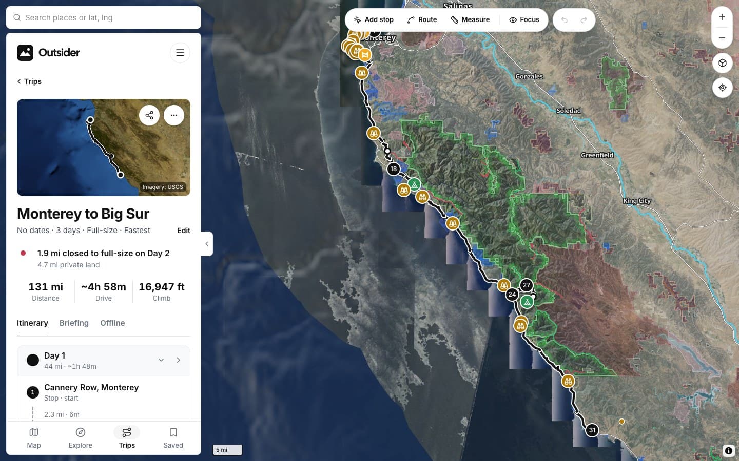
SCREENSHOTS
See it in the app
Click any screenshot to see what it shows.
WHERE THE ANSWERS COME FROM
Where the boundaries come from
[The land map comes from the agencies' own boundaries, and the rules from their orders.]
FROM THE TRAIL
[Drivers who didn't turn around]
[PLACE · ROAD]
“[THE BIG TESTIMONIAL, IN THEIR WORDS]”
[RIG] · [STATE]
“[TESTIMONIAL]”
[RIG] · [STATE]
“[TESTIMONIAL]”
[RIG] · [STATE]
Fair questions
Is private land shown?
Land no public agency manages is left uncolored; inside it, camping needs permission.
What about state and county land?
State game lands, state forests and county parks are on the map with their camping rules.
Do the colors mean I can camp?
They show the manager's usual rule. Posted rules and closures override it; tap the spot to see which applies.
[Know the ground under your tires]
KEEP EXPLORING