FEATURES / WILDERNESS & ROADLESS
WILDERNESS & ROADLESS
[Know where the road ends]
[Wilderness, roadless and OHV areas on the map, with what each one allows.]
WHAT THE SHADING MEANS
WildernessNo vehicles or bikes
OHV open areaRide anywhere inside
OHV limited areaOn marked routes
Roadless areaForest Service, pale white
THE DETAILS
What a spot inside tells you
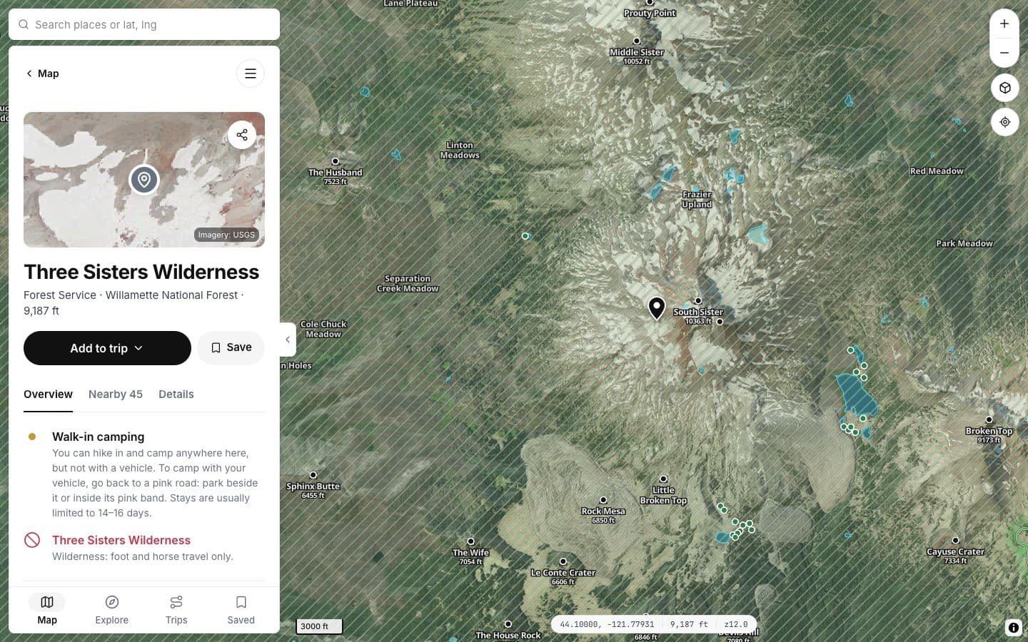
Tap inside any area for its rules.
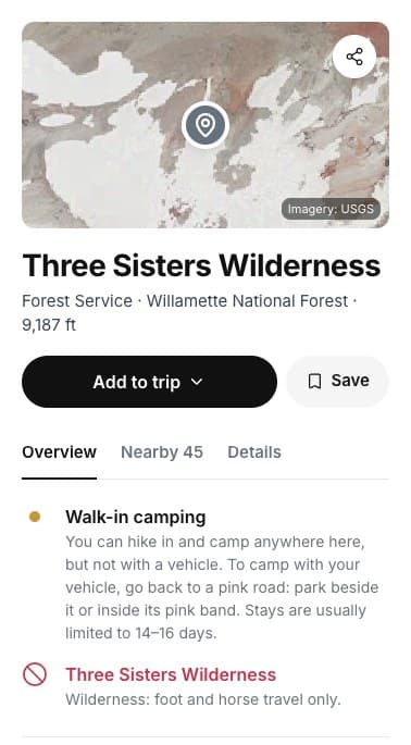
THE RULE
Foot and horse only
And what that means for camping.
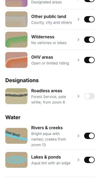
SWITCHES
Each kind on or off
Under Land, with the rest of the ground.
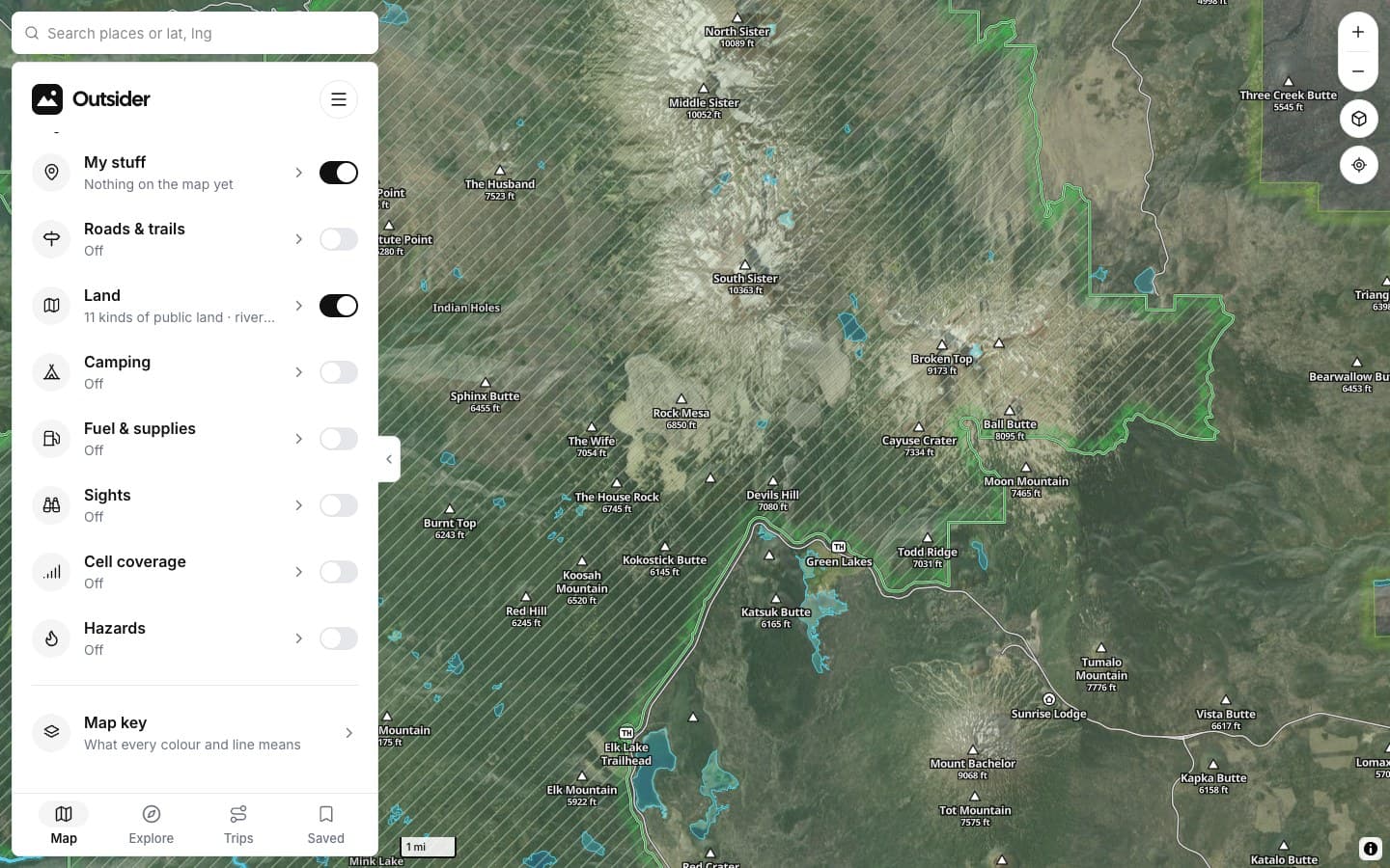
ON THE MAP
A green edge
Hatched inside, so it reads on satellite.
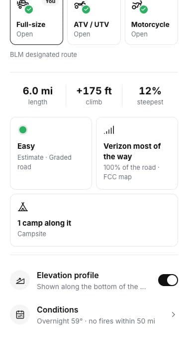
ROAD CARDS
Not wilderness
Road and spot cards say when you're outside it.
WILDERNESS
No vehicles or bikesFoot and horse travel only
Walk-in campingLeave the rig outside
OHV AREAS
Open areasRide anywhere inside
Limited areasMarked routes only
ROADLESS AREAS
Forest ServiceInventoried roadless areas
From zoom 6Off until you switch it on
SCREENSHOTS
See it in the app
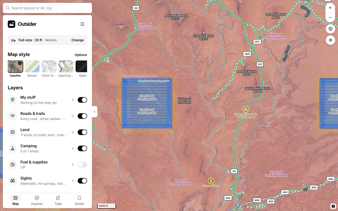
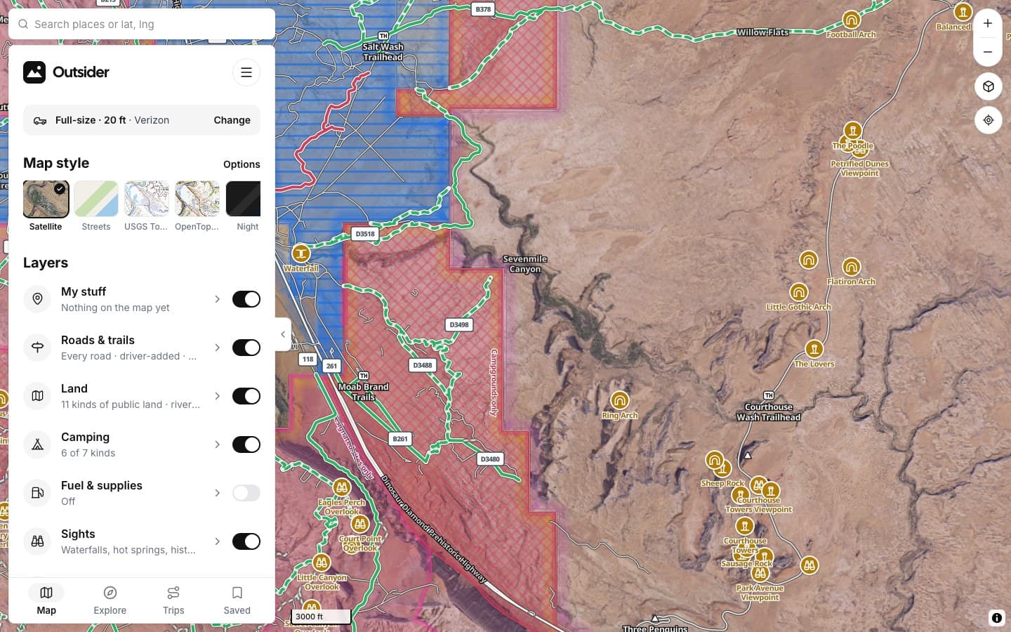
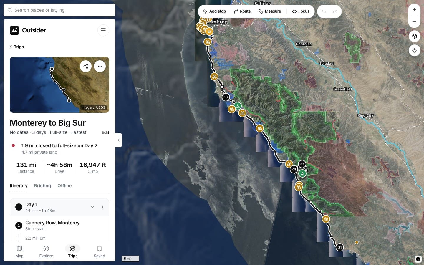
Click any screenshot to see what it shows.
FROM THE TRAIL
[Drivers who didn't turn around]
[PLACE · ROAD]
“[THE BIG TESTIMONIAL, IN THEIR WORDS]”
[RIG] · [STATE]
“[TESTIMONIAL]”
[RIG] · [STATE]
“[TESTIMONIAL]”
[RIG] · [STATE]
Fair questions
Can I drive to the wilderness edge?
Yes, on roads open to your vehicle. Park outside and walk in.
What's a roadless area?
Forest Service land inventoried as having no roads. Rules vary; check the road status inside.
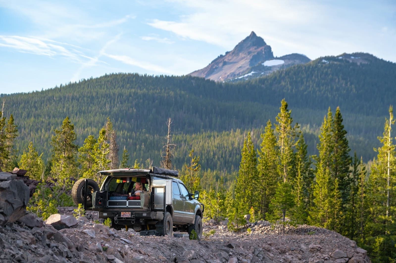
[Drive to the edge, walk the rest]
KEEP EXPLORING