FEATURES / CLOSURES
CLOSURES
[Find out it's closed before you drive there]
[Closure orders on the map, read every day and matched to the road.]
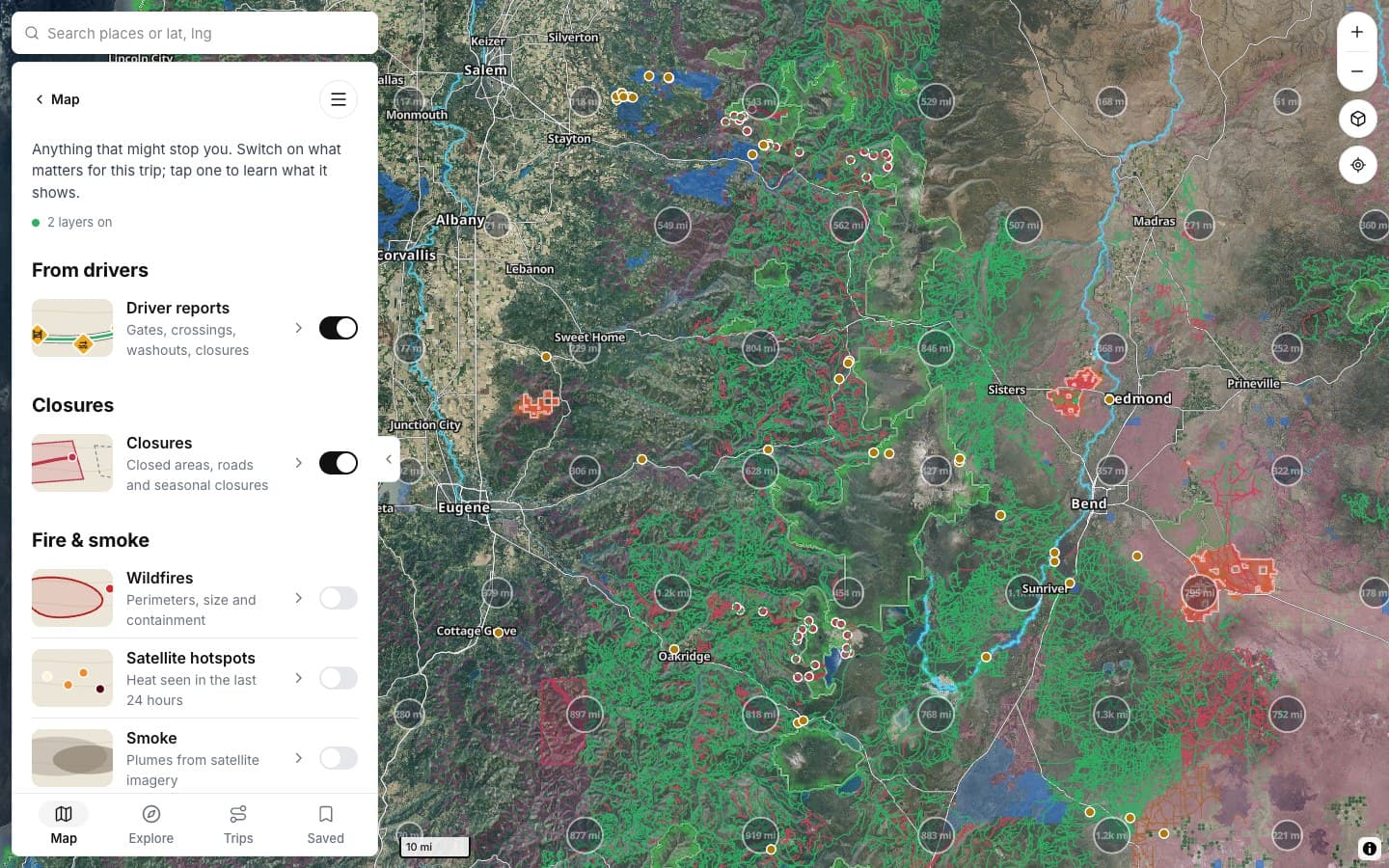
HOW CLOSURES LOOK
THE DETAILS
What a closure tells you
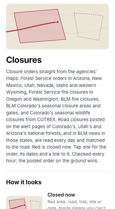
Tap one for the order, its dates and a link to it.
SOURCES
Straight from the agencies
Forest Service and BLM orders.
UP CLOSE
Roads and areas
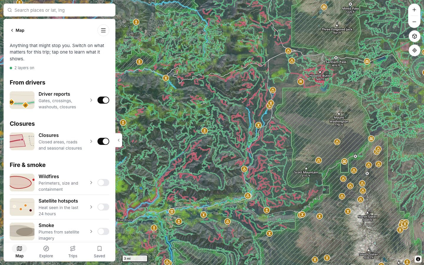
Closed areas, roads and sites.
ON THE MAP
Red is closed now
Seasonal ones in grey.
BRIEFING
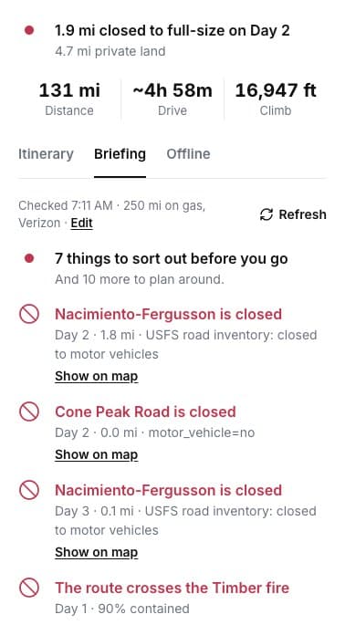
On your route
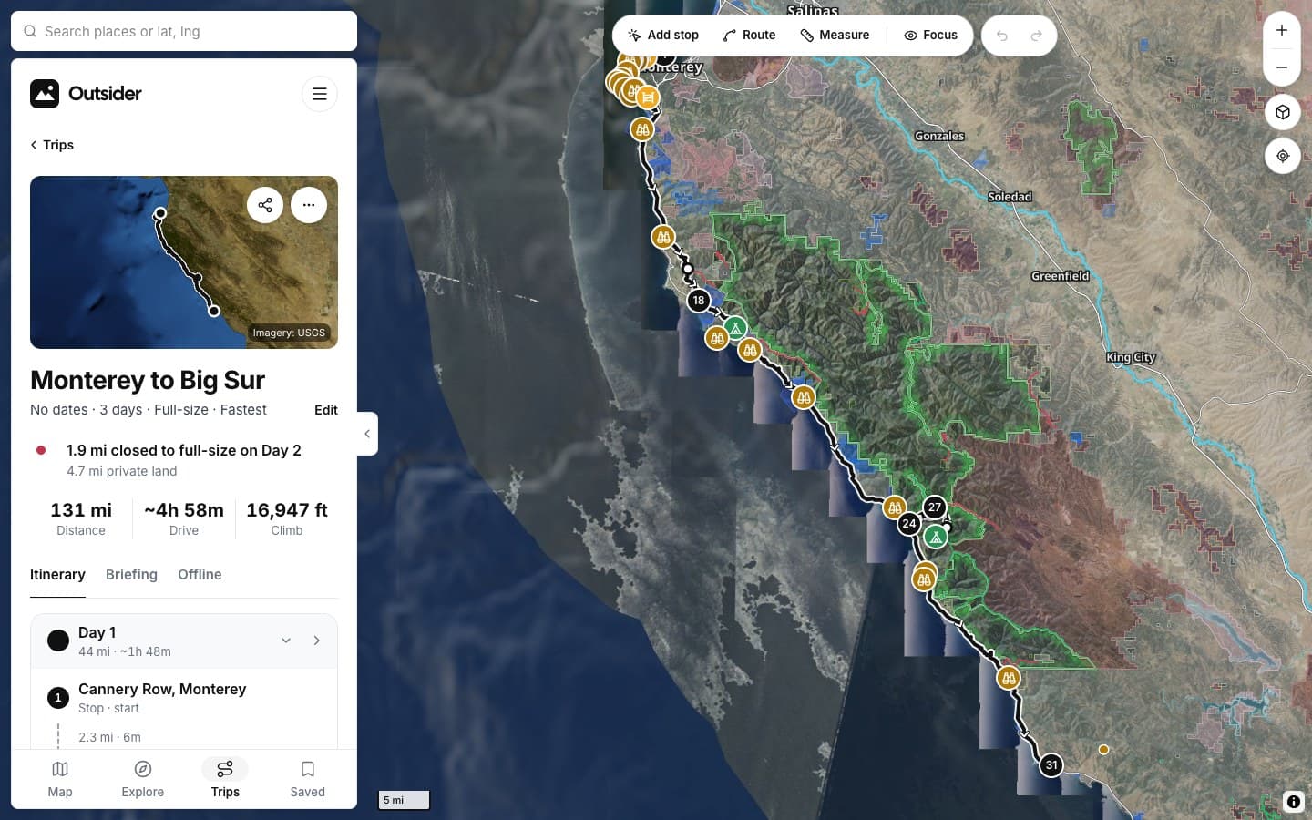
Closed stretches flagged.
CLOSED NOW
ALSO
CHECKED
SCREENSHOTS
See it in the app
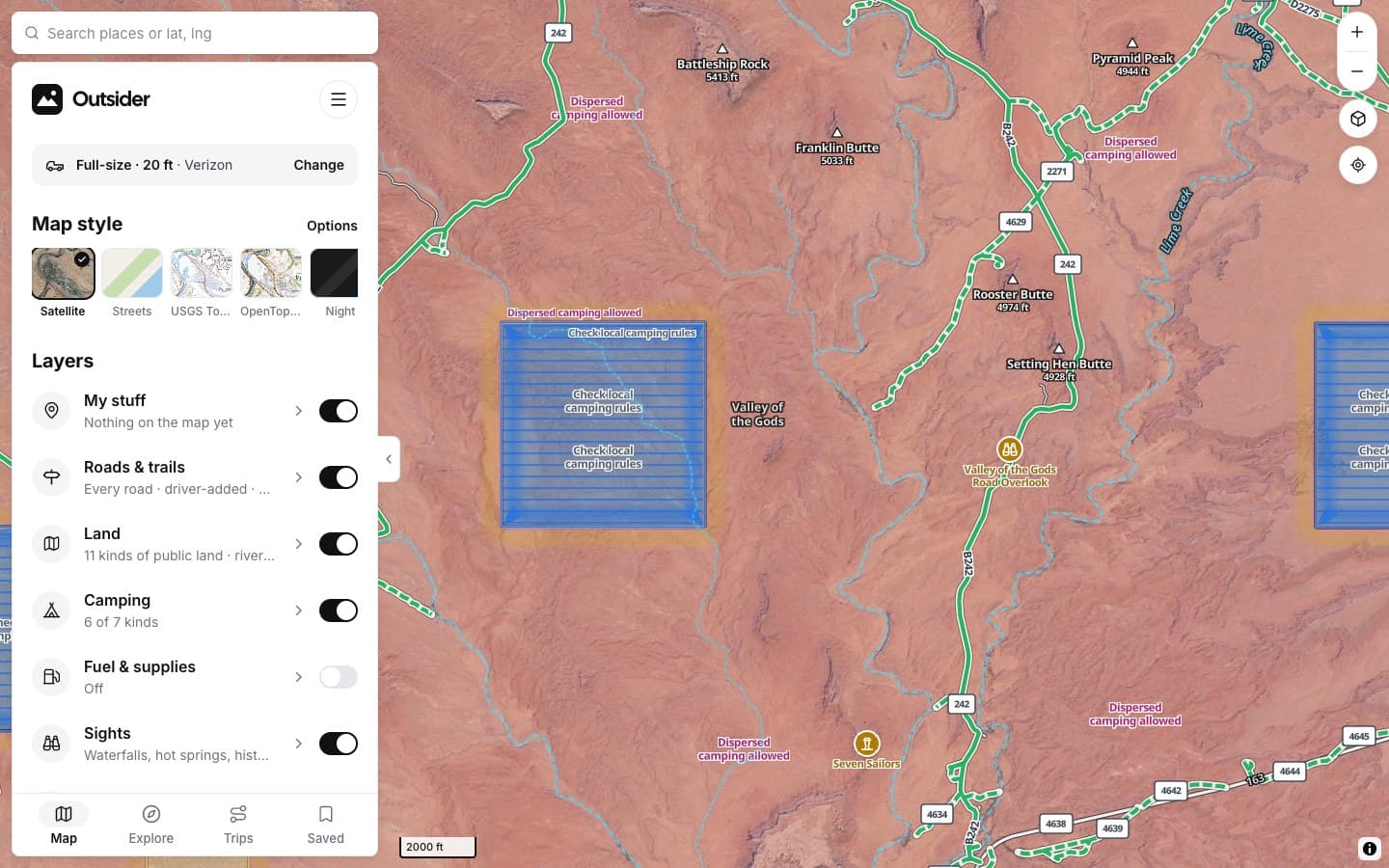
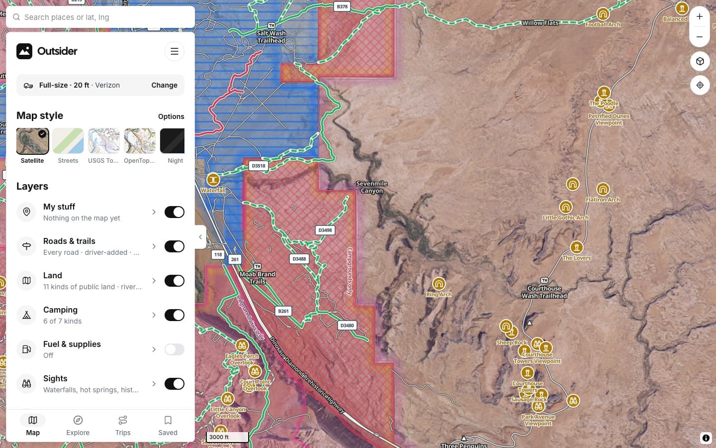
Click any screenshot to see what it shows.
WHERE THE ANSWERS COME FROM
Read from the agencies
[Closure orders straight from the agencies, read every day and matched to the road.]
FROM THE TRAIL
[Drivers who didn't turn around]
[PLACE · ROAD]
“[THE BIG TESTIMONIAL, IN THEIR WORDS]”
[RIG] · [STATE]
“[TESTIMONIAL]”
[RIG] · [STATE]
“[TESTIMONIAL]”
[RIG] · [STATE]
Fair questions
How often is it updated?
Agency closure maps are checked every hour; posted road closures are read every day.
What if the map and the sign disagree?
The posted order on the ground wins. Report it and we'll fix the map.
[No dead ends]
KEEP EXPLORING