FEATURES / SATELLITE & MAPS
SATELLITE & MAPS
[Scout the spot before you drive there]
[Sharp satellite, topo and 3D terrain under every layer.]
THE DETAILS
Every way to see the ground
Pick a base map; your layers stay on top.
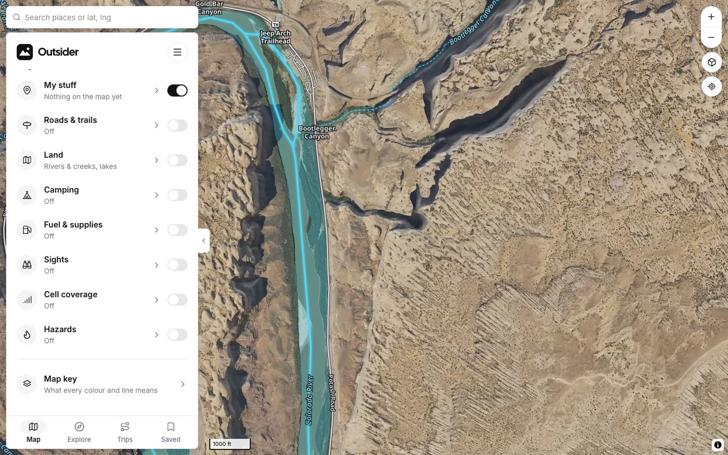
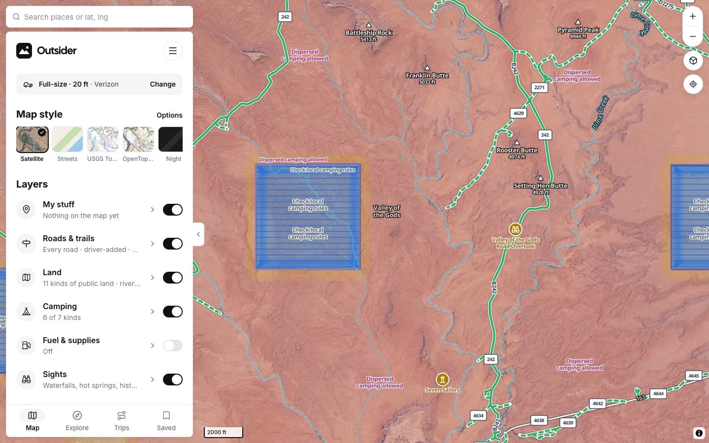
SATELLITE
USGS imagery
Aerial imagery with labels.
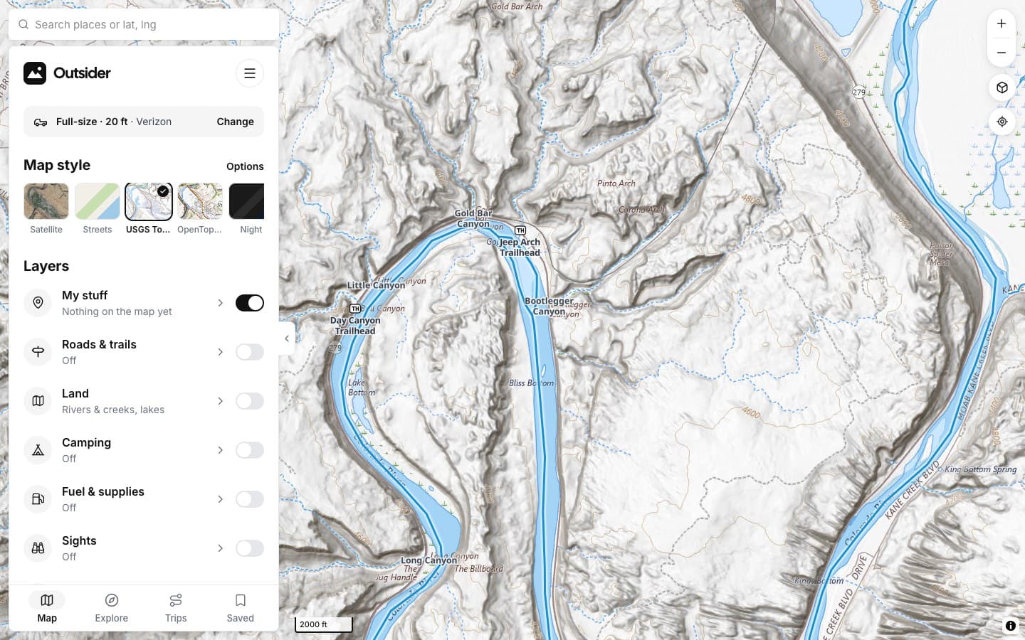
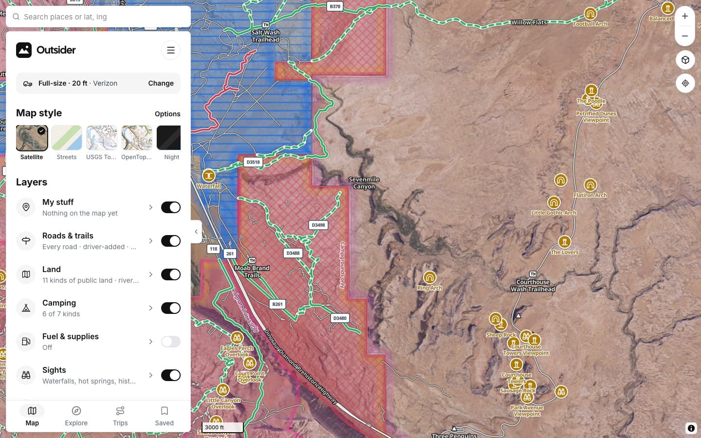
TOPO
USGS Topo
Contours, 4WD roads, trails.
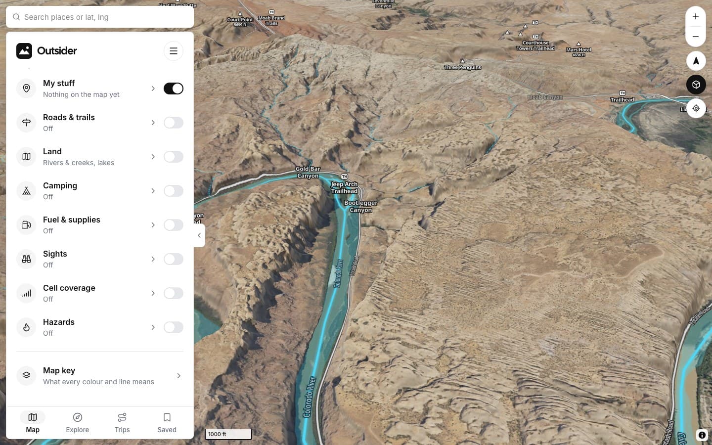
3D
3D terrain
Tilt to read the slopes.
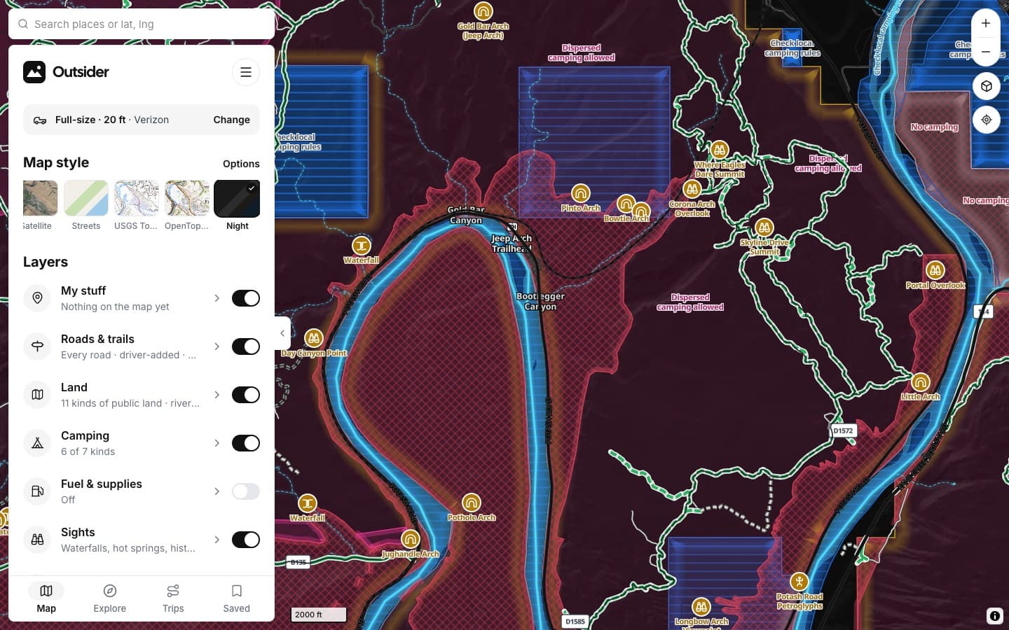
NIGHT
Night map
Dark, for use around camp.
BASE MAPS
SatelliteUSGS aerial imagery with labels
StreetsOpenStreetMap roads and places
USGS TopoContours, 4WD roads, trails
OpenTopoMapGlobal topo from OSM + SRTM
ON THE BASE MAP
Borders & namesState lines and place names
HillshadeShaded relief for slopes
3D terrainTilt with two fingers or right-drag
NightDark map for camp
SCREENSHOTS
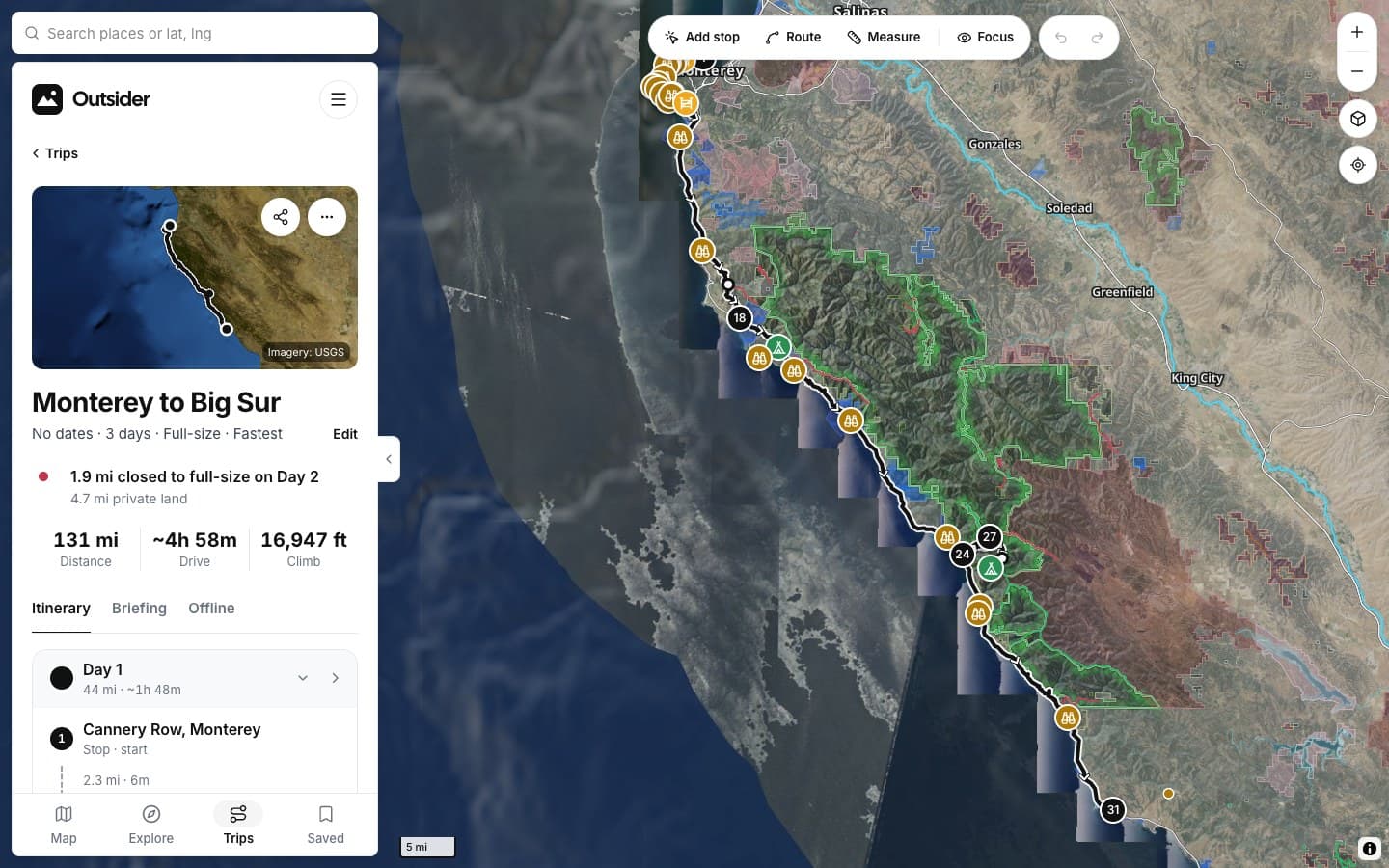
See it in the app
Click any screenshot to see what it shows.
FROM THE TRAIL
[Drivers who didn't turn around]
[PLACE · ROAD]
“[THE BIG TESTIMONIAL, IN THEIR WORDS]”
[RIG] · [STATE]
“[TESTIMONIAL]”
[RIG] · [STATE]
“[TESTIMONIAL]”
[RIG] · [STATE]
Fair questions
How recent is the satellite?
It's USGS imagery in the US; past the border we use Sentinel-2.
Do the layers work on every base map?
Yes. Roads, land and camping draw on top of whichever base map you pick.
[See it before you drive it]
KEEP EXPLORING